Forests on the Brink

Space data as a service
  • SPACE DATA AS A SERVICE

Using Space-Based Intelligence to Prevent Ecosystem Collapse

Forests are essential for life on Earth – they regulate our climate, clean our water, provide homes for countless species, and support over 1.6 billion people’s livelihoods. But today, these vital ecosystems are in danger. Rising temperatures, changing rainfall patterns, pest invasions, wildfires, and unsustainable land use are pushing many forests to the breaking point. Scientists warn we’re approaching a dangerous threshold where forests could quickly deteriorate beyond recovery. 

To protect our forests, we need more than just conservation efforts and better policies – we need cutting-edge tools that can monitor threats and help us respond quickly. Increasingly, those tools are coming from space. 

When Forests Reach Their Breaking Point

Forest collapse isn’t just about losing trees. It happens when multiple stresses hit a forest at once, pushing it past its ability to recover naturally. The result is a rapid shift to a degraded state that’s much less diverse and resilient. 

In the Amazon, for example, cutting down trees combined with drought is turning parts of the rainforest into savannah. In Canada’s northern forests, warmer temperatures have fueled beetle outbreaks and massive fires, killing millions of trees. These changes affect more than just the forests – they release stored carbon, reduce rainfall, and speed up global warming. 

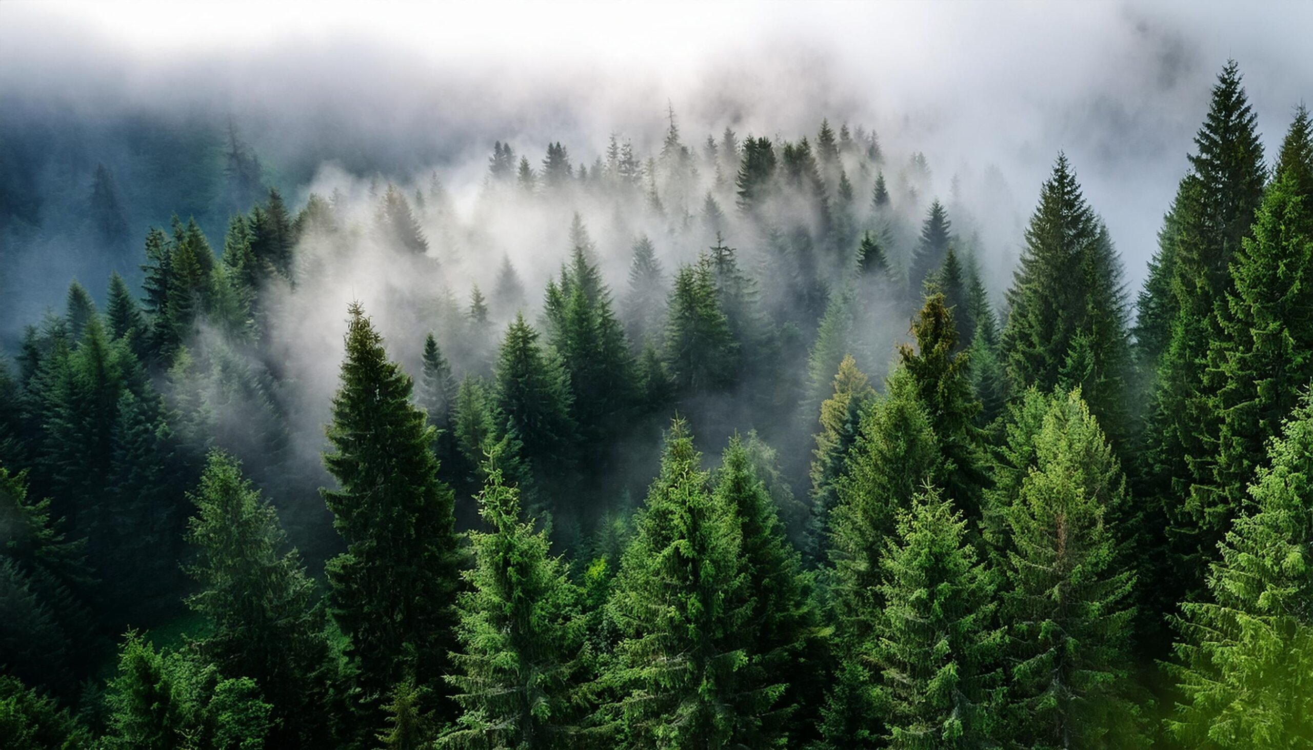
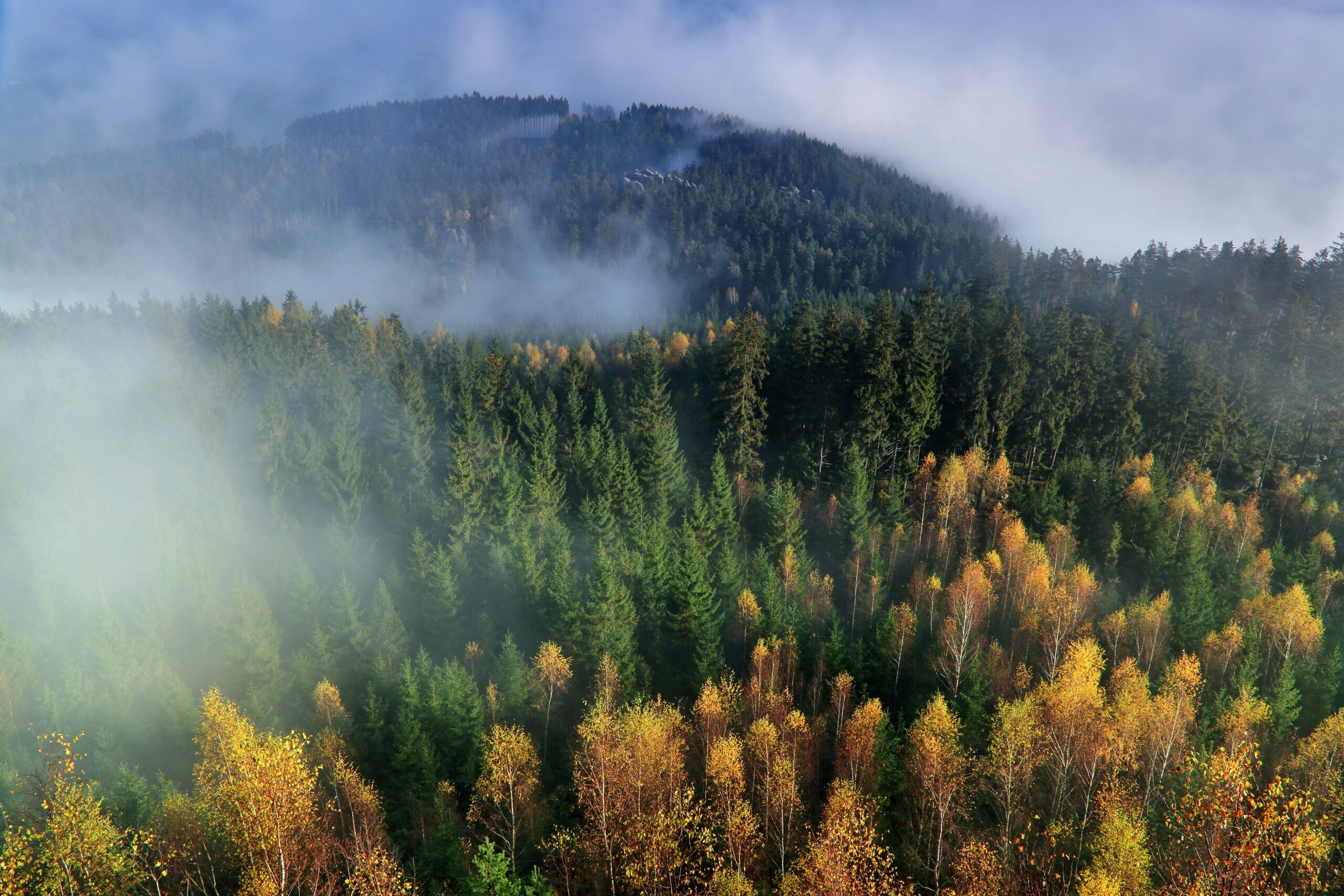
Eyes in the Sky That See What We Can't

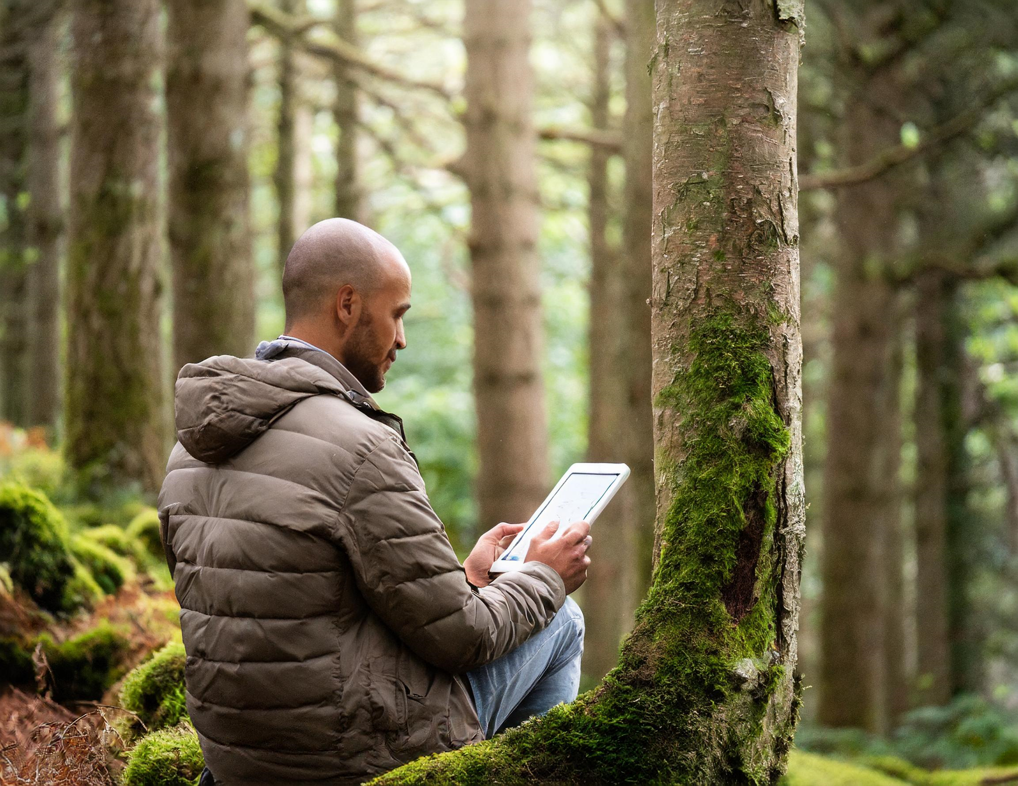
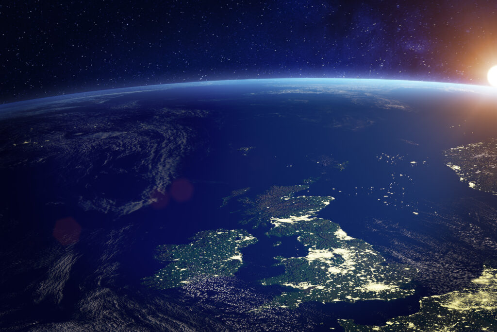
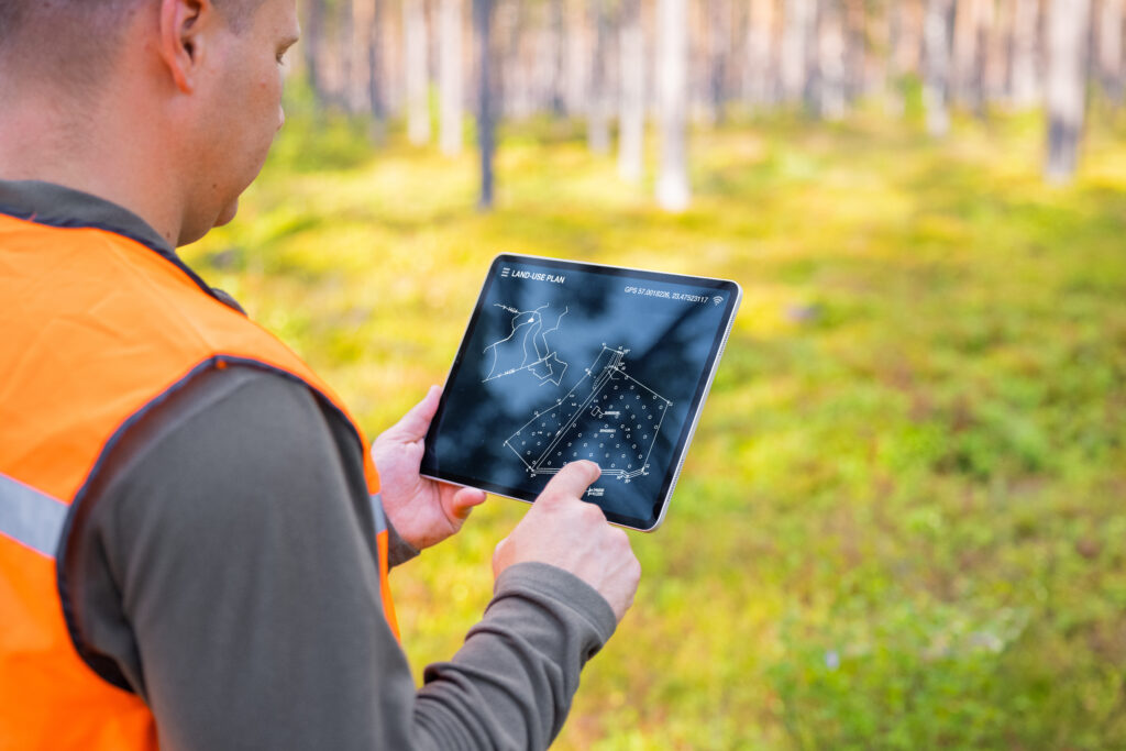
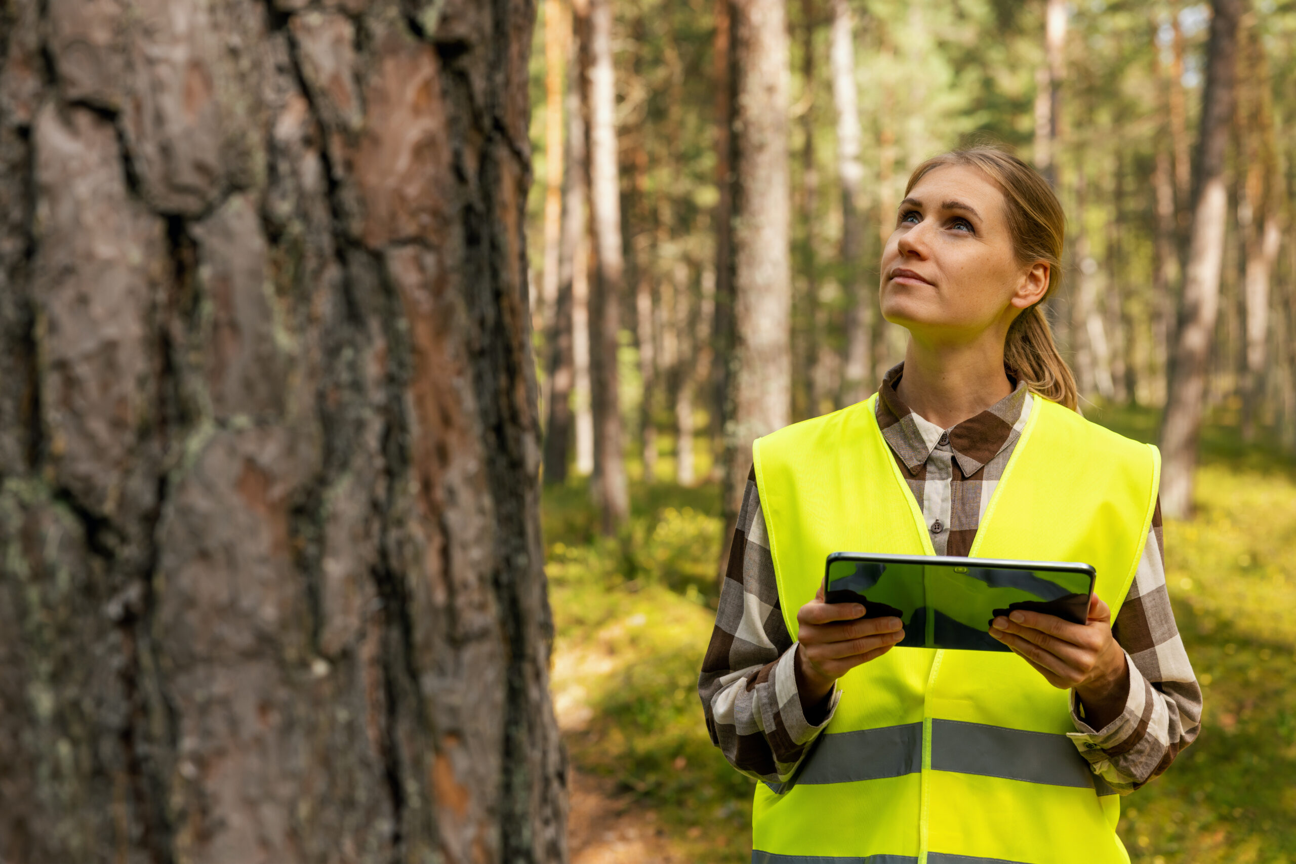
In the past, monitoring forests meant sending teams on foot or in aircraft – expensive, time-consuming work that could only cover small areas. Today, satellites equipped with advanced sensors provide continuous views of forests worldwide, often revealing problems before they’re visible to someone on the ground. 

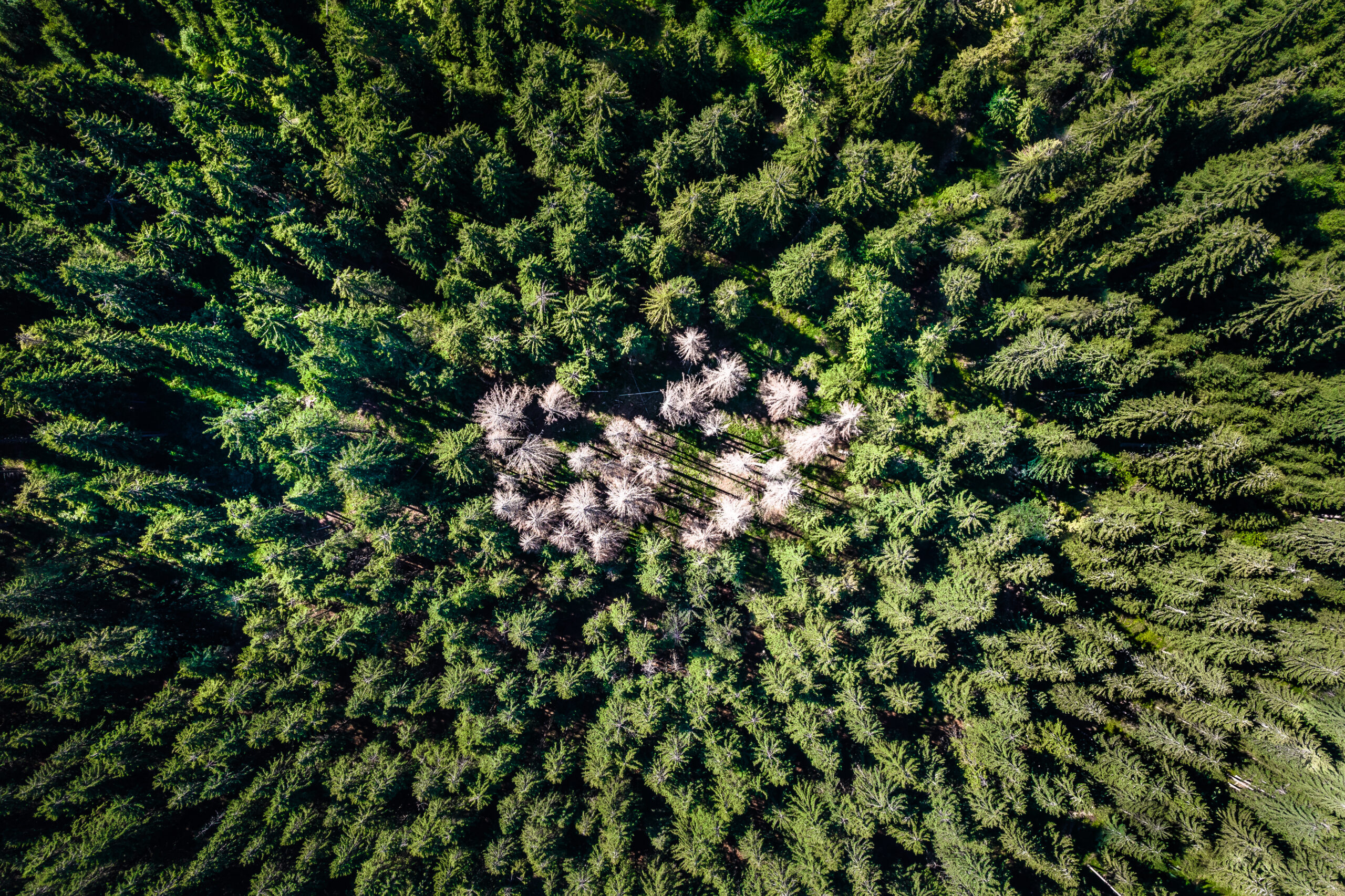
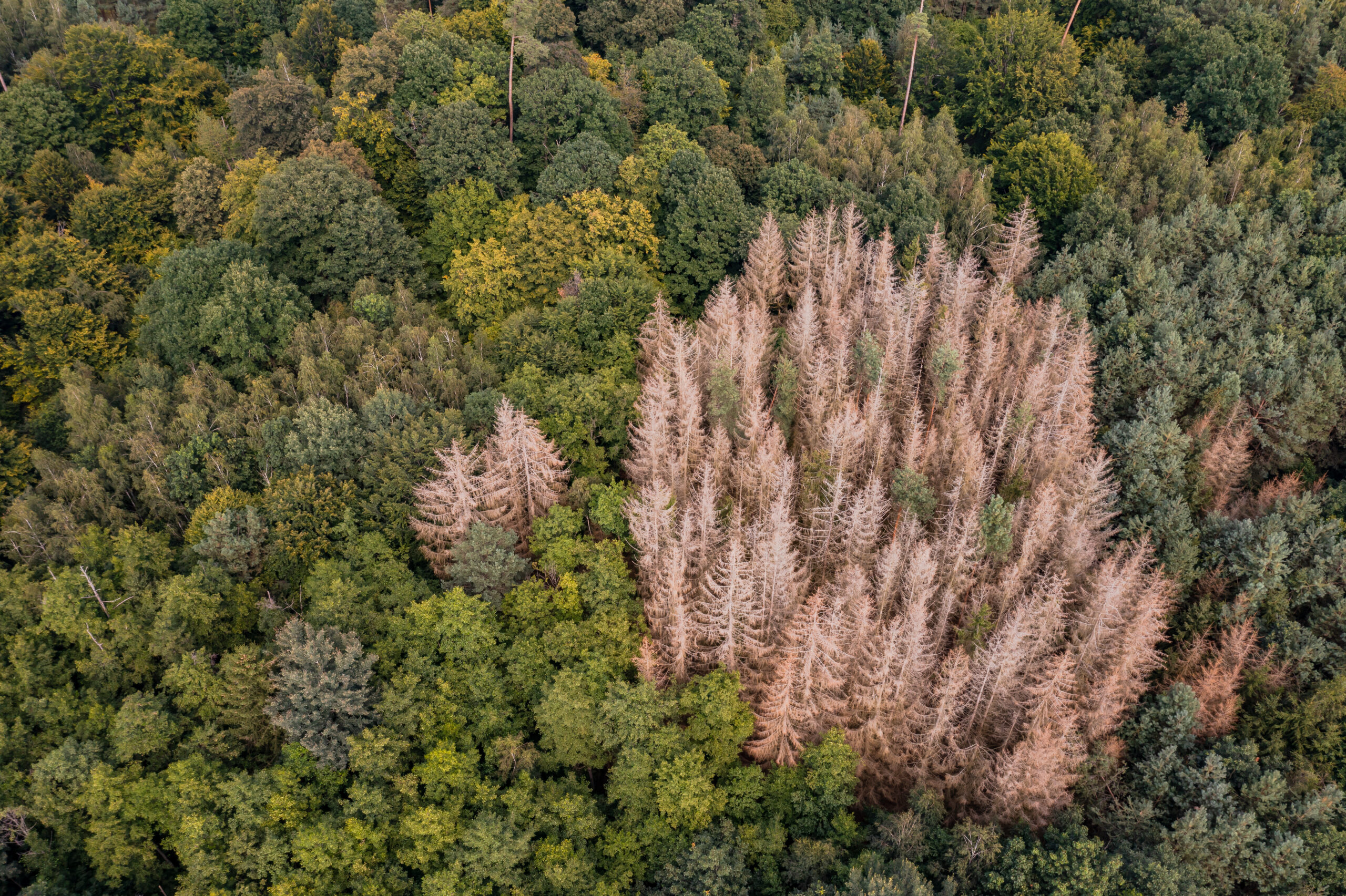
Satellites have been monitoring forests for decades, providing broad overviews of vast regions. Free and public data has long offered continent-scale monitoring, but the trade-off was always limited detail—too coarse to detect early signs of disease, pest outbreaks, or subtle degradation. This meant forest managers still had to rely heavily on expensive, time-consuming ground surveys. 

On the other end, very high-resolution satellites revealed incredible detail but covered only tiny areas and came with astronomical costs per square kilometre—making widespread, routine monitoring impossible for most users. 

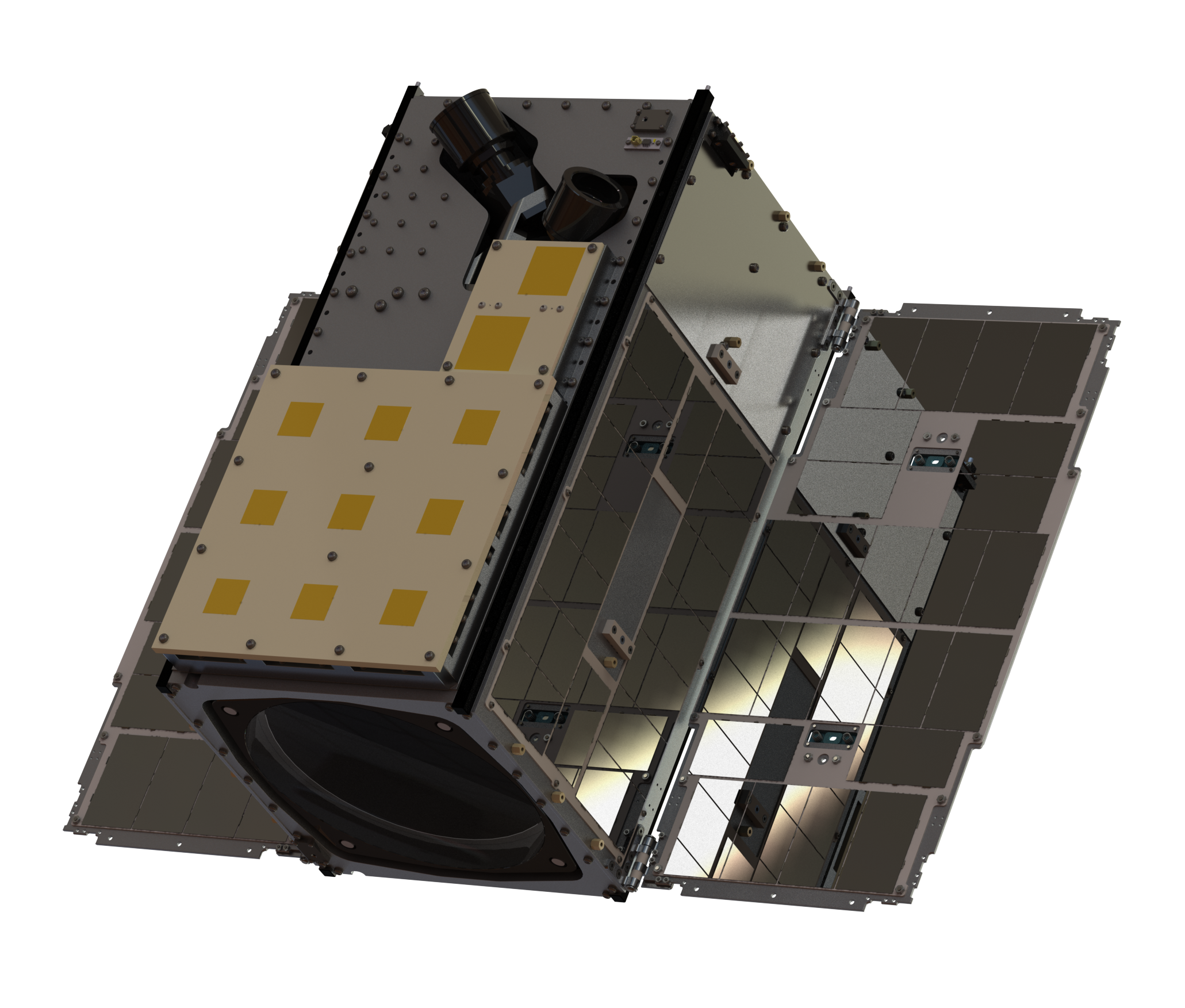
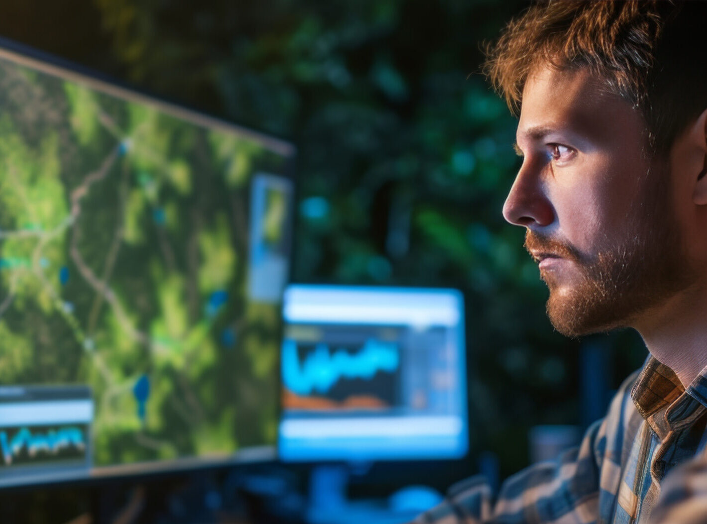
What’s changing now is that constellations like VIREON™ are bridging this gap: delivering detailed, multispectral imagery at a scale and price point previously unimaginable. This means forest managers can finally monitor fine-grain changes across large areas in near real-time, enabling proactive intervention before problems escalate—combining the best of both worlds: scale, detail, and affordability. 

This space-based perspective is a game-changer because it allows forest managers to act before problems get out of hand, not just react after damage is done. 


Strategic Resource Allocation

In British Columbia, forestry departments faced with limited budgets for pest management now deploy targeted interventions guided by satellite-detected hotspots of tree stress. This approach has improved treatment efficacy by 40% compared to traditional grid-based surveys, while reducing costs by nearly a third. 

“We’re no longer shooting in the dark,” explains a senior forest health specialist. “Earth Observation gives us the precision to direct our limited resources exactly where and when they’re needed.” 

Adaptive Management Frameworks

The European Forest Institute is leading a new approach to forest management that responds to real-time satellite data. Instead of relying on fixed schedules, foresters now adjust their strategies—such as when to harvest, how much to thin, or which species to plant—based on indicators of forest health and resilience detected from space. 

This shift from calendar-based to condition-based forestry is a major leap forward. For example, if satellite data shows declining tree vigour in a specific stand, managers might delay harvesting or introduce more diverse species to boost resilience. 

This approach, known as adaptive management, allows forests to be cared for in a way that reflects their changing conditions—an essential strategy in an era of climate stress and ecological uncertainty. 

Community-Embedded Monitoring

In the Peruvian Amazon, Indigenous communities have partnered with NGOs and tech providers to implement localized monitoring systems using satellite deforestation alerts and smartphones. These tools integrate modern Earth Observation (EO) data with community-led patrols, enabling rapid, culturally appropriate responses to illegal logging. A study published in PNAS found that this model led to a 52% reduction in deforestation in its first year of implementation. Beyond forest protection, the initiative has strengthened Indigenous land stewardship and increased community capacity for environmental governance. 


Canopy: Space Data for Intelligent Forest Management

The big challenge for forestry organizations isn’t accessing satellite data — it’s transforming that data into actionable insights tailored to real-world decisions. Canopy is an integrated space data service designed specifically to enable sustainable forest management. 

While forest change often unfolds over long timescales, there are critical moments when speed matters — such as detecting early signs of illegal logging, fire outbreaks, or infrastructure encroachment. Canopy delivers timely, high-resolution insights that support rapid response when needed, while also tracking slower, cumulative trends like biomass loss, disease spread, or species habitat shifts. This balance of immediacy and long-term monitoring gives forest managers the tools to act when it counts — and plan for what comes next. 

Forestry doesn’t always move fast — but decision-making still depends on having the right insights, at the right time. Canopy is a space data service that combines high-resolution satellite imagery, advanced analytics, and user-specific customization to support smarter, more sustainable forest management. 

Leveraging the VIREON™ satellite constellation, Canopy offers a unique blend of capabilities: 1.5-meter resolution, 7 multispectral bands aligned with Sentinel-2, and a cost-effective delivery model. While similar components exist individually, Canopy’s real innovation lies in combining them into a flexible, scalable solution that meets the practical needs of forestry professionals. 

The service delivers:

Custom Forest Monitoring

Rather than generic satellite passes, Canopy tailors its image acquisition to each forest manager’s specific region and needs—capturing scenes during key seasonal transitions and accounting for cloud cover or weather windows.

Advanced Multispectral Imaging

Capturing across 7 spectral bands, the system detects subtle indicators of forest health — including stress, disease, or species changes — that are invisible to the human eye, enabling early intervention and long-term planning.

Daily Revisit Capability

Canopy offers the ability to capture imagery every 24 hours, thanks to the agility and tasking flexibility of the VIREON™ constellation. While full-Earth daily imaging isn’t feasible, this targeted approach ensures continuous monitoring of priority sites — essential for responding to threats like illegal logging to fire damage,

Actionable Analytics

Canopy goes beyond raw imagery, providing processed outputs like plant health indices, pest or disease impact polygons, and canopy disturbance maps — empowering forest managers to act, not just observe.

The system’s highly organized and digestible data packages integrate seamlessly into existing business practices across timber management, smart agriculture, and conservation. Forestry managers can track both long-term and short-term changes, assess tree maturity, monitor plant health, and perform land cover classification with unprecedented precision. 

“With approximately two billion hectares of degraded forest land worldwide—roughly twice the area of Europe—having potential for revitalization, Canopy’s capabilities arrive at a critical moment,” notes AAC Clyde Space. “Restoring forest health creates jobs, mitigates climate change, and safeguards biodiversity—all enabled by more intelligent monitoring.” 


From Spotting Problems to Getting Ahead of Them 

As climate pressures mount, forest management organizations face a pivotal choice: continue reacting to crises after they unfold, or shift toward earlier, more informed responses based on timely, high-resolution data. While Earth Observation doesn’t predict the future, it empowers forestry professionals with faster, clearer insights into what’s already happening — enabling them to act sooner and minimize long-term damage. 

The tools now exist to radically improve how we perceive, protect, and manage forest ecosystems. The question isn’t whether we can afford to adopt these capabilities — it’s whether we can afford not to. 

For forestry organizations interested in implementing Earth Observation solutions, contact information for our Space Data team can be found below. 

Find out More About Space Data for Intelligent Forest Management

"*" indicates required fields

Name*
Please provide any additional information relating to your request.