Canopy

Space data as a service
  • SPACE DATA AS A SERVICE

An Integrated Space Data Service for Forest Health Monitoring

Designed to enable sustainable forest management, Canopy will provide woodland monitoring with Earth
Observation. Canopy provides users with data and analysis, using our targeted images at critical seasonal stages.

Our advanced satellite data empowers foresters with valuable insights, from deforestation monitoring and burned area estimation, forest stock assessment, health, and storm damage assessment.

Our Cyclops constellation will be helping to rapidly and accurately gather and analyse stress, pests and disease in trees and wild plants to aid early detection at state levels and monitor change over time.


Forests cover 31% of Earth’s land and provide a habitat to 80 per cent of all land-based species and are crucial to human health and well-being. Every year, our planet loses 10 million hectares of forests, roughly the same area as the entire Republic of Korea.  

Fire, insect-damage and deforestation have accounted for up to 150 million hectares of forest loss in certain years over the last decade, that’s more than the landmass of a country like Chad or Peru. 

But we can turn the tide on this negative trend through sustainable forest management and ecosystem restoration. 

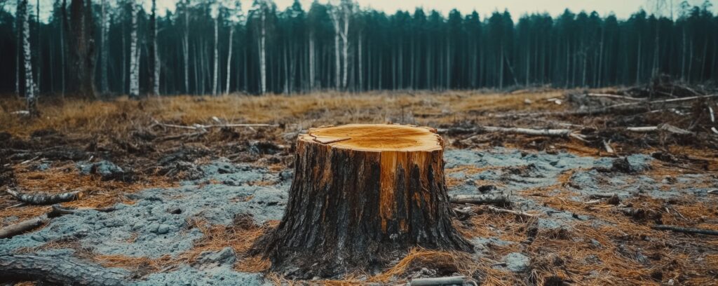
Canopy, Designed to Protect Our Forest

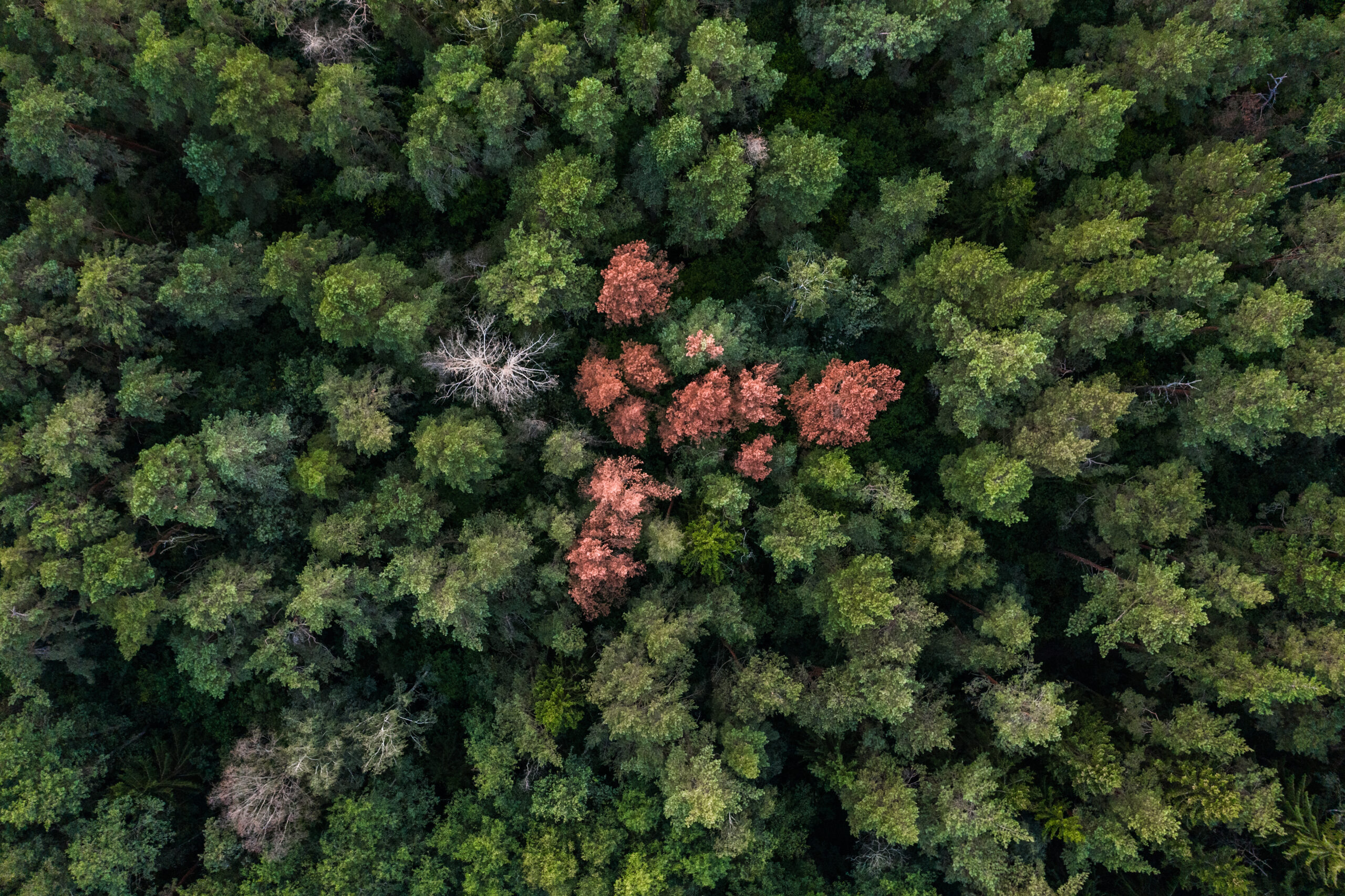
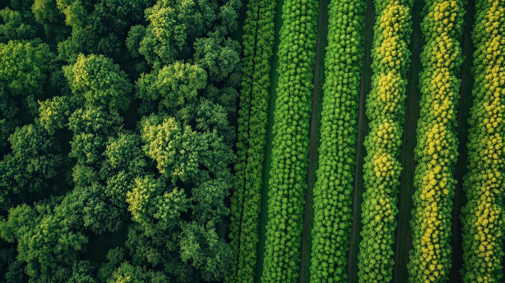
Designed to enable sustainable forest management, Canopy will provide multispectral imaging of our forests. These images are across multiple bands, providing much more information than the human eye could detect.  Our Cyclops constellation will also have the ability to provide multispectral imaging at a global scale with a resolution capable of individual tree identification.

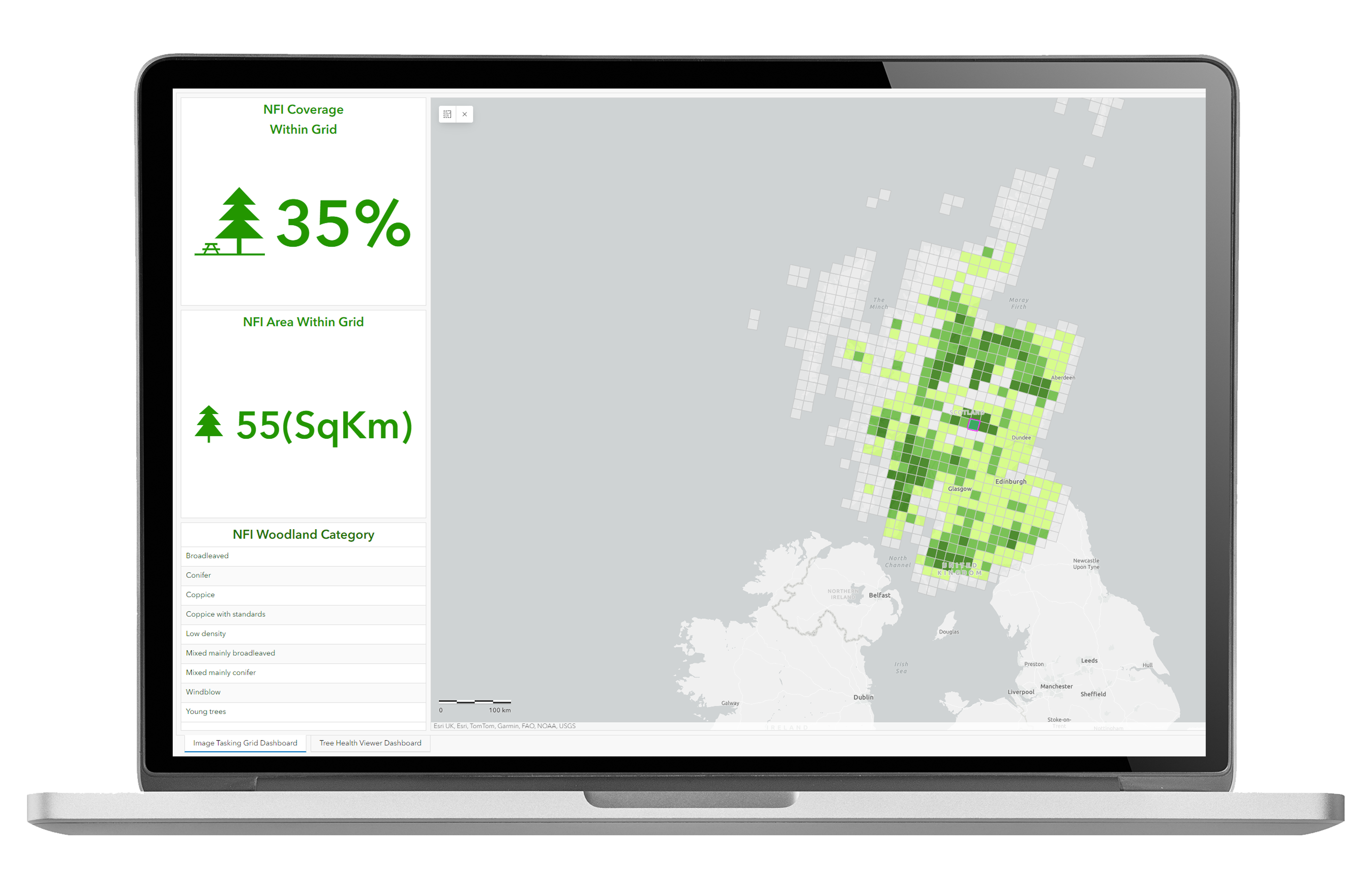
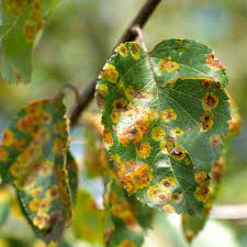
The imagery collected by the constellation will be available to customers as served raster imagery content. Analytical overlays such as plant health are available with polygons, delineating areas affected by pest and disease or canopy loss. 

The highly organised and easily digestible data package will allow for easy integration into a myriad of business practices including timber management, smart agriculture and conservation.

The Canopy images collected will allow data users the ability to track long- and short-term changes, assess tree maturity, monitor plant health, and perform land cover classification. 

Providing Tailored Spatial & Temporal Detail 

Multispectral satellite images can detect forest health issues, but current systems have limitations. Image resolution detail is typically around 10-metres, and it is not targeted for each specific user.

Canopy provides users with their bespoke data, using our targeted images at correct seasonal stages, accounting for weather conditions, at a resolution of 1.5-metres. It can enable the analysis of individual trees at much lower cost that previously available, saving you time and money.  

Canopy

Space Data for Our Forest Management

  • Tailored Earth Observation

    Data Package 

  • Targeted Multispectral Images 

    In 7 Bands

  • High Resolution Images

    1.5 Metre  

  • Daily Revisit

    Global Coverage

  • Aligned to Sentinel-2

  • Adaptable for Seasonal Changes 

Canopy Can Be Used For

The multispectral imagery captured by the satellites has a variety of applications in forestry, agriculture, and natural resource management.  

The cost-effective and high-resolution imagery is built on decades of small satellite heritage and experience. 

It is estimated that some two billion hectares of degraded land worldwide have the potential to be revived. That is roughly twice the area of Europe. Revitalizing the health of our forests is in our best interest, as it helps to create new jobs, mitigate climate change, and to safeguard biodiversity. 

Monitoring Tree Pests & Disease 

Forest Damage Assessment

Reforestation Health Monitoring 

Vegetation Monitoring 

Canopy Enquiry

"*" indicates required fields

Name*
Please provide any additional information relating to your request.