Forest

Forests and Innovation

Space data as a service
  • SPACE DATA AS A SERVICE

Scottish Built Satellites to Tackle Scotland’s Declining Forest Health

The pace and scale of tree pest and disease incursions to Scotland are escalating and it is expected that it will accelerate with further trade globalisation and climate change. Given the long lives of trees, it can be surprising to learn that many trees in Scotland are at risk from pests and diseases. Whilst some trees can live for centuries, infections can cause them to deteriorate and die quickly. There is an environmental imperative to understand, scale, prevalence and distribution of stress, pests and disease in trees and wild plants across Scotland.


Efforts to manage these pests and diseases in Scotland include surveillance and monitoring programs, research into genetic diversity of tree species, quarantine measures, and public awareness and biosecurity campaigns to recognise symptoms and reduce spread. Additionally, forest management practices aim to promote biodiversity and resilience, helping to mitigate the impacts of these threats on Scotland’s forests.

Scottish Forestry’s existing solution is to conduct helicopter surveys using trained officers to spot areas of interest and capture photographic data for desk-based analysis. This is expensive, time consuming, difficult to replicate, and is limited by flight time, visibility, seasonal changes, and limited coverage.

AAC Clyde Space are working with Civtech, a Scottish Government programme that brings the public, private and third sectors together to build things that make people’s lives better, on challenge 9.1.

Challenge 9.1 looks at the role of technology and how it can help rapidly and accurately gather and analyse stress, pests and disease data for trees and wild plants to aid early detection at national levels.

Our solution to help address this environmental problem, is multispectral satellite imagery at high resolution that can detect early signs of tree diseases, such as discoloration, early leaf loss, and other symptoms. This type of imaging has been used to detect the early signs of disease in other uses cases such as wheat, rice and olives.

The AAC Clyde Space satellite constellation will be used for this Space Data as a Service solution. These state-of-the-art nanosatellites will deliver high-resolution multispectral data, a method for capturing images of Earth across multiple bands, providing much more information than the human eye detects.
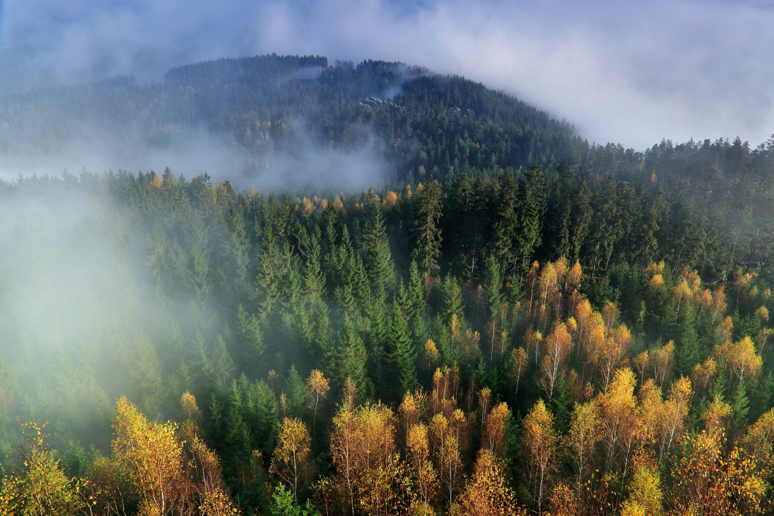


Our satellites will help rapidly and accurately gather and analyse stress, pests and disease data in trees and wild plants to aid early detection at national levels. Repeatable analysis may enable Scottish Forestry to monitor change over time.

Application of this technology to wild plants would also allow organisations such as Royal Botanic Garden Edinburgh to better protect wild plants and achieve biodiversity outcomes.

In Scottish Forestry’s guest blog, Flora Donald, their Tree Health Policy Officer, explains this exciting piece of work being undertaken through the CivTech Challenge https://forestry.gov.scot/news-releases/forests-and-innovation