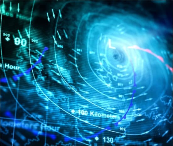
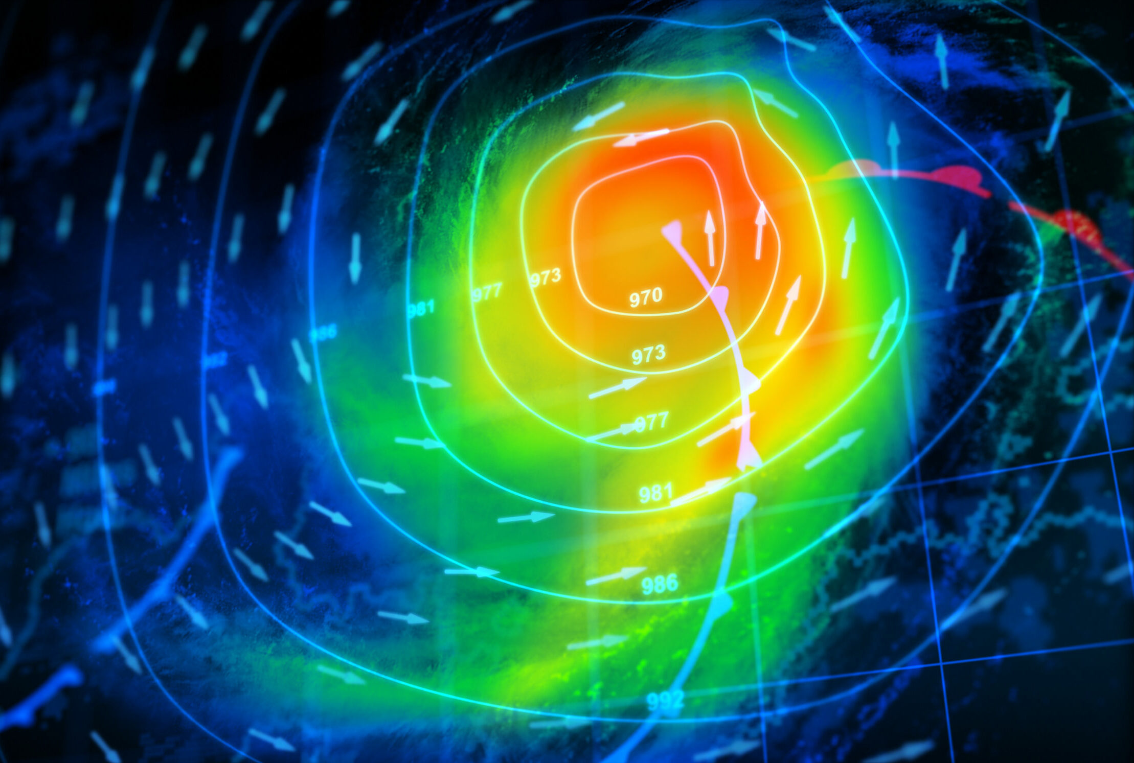
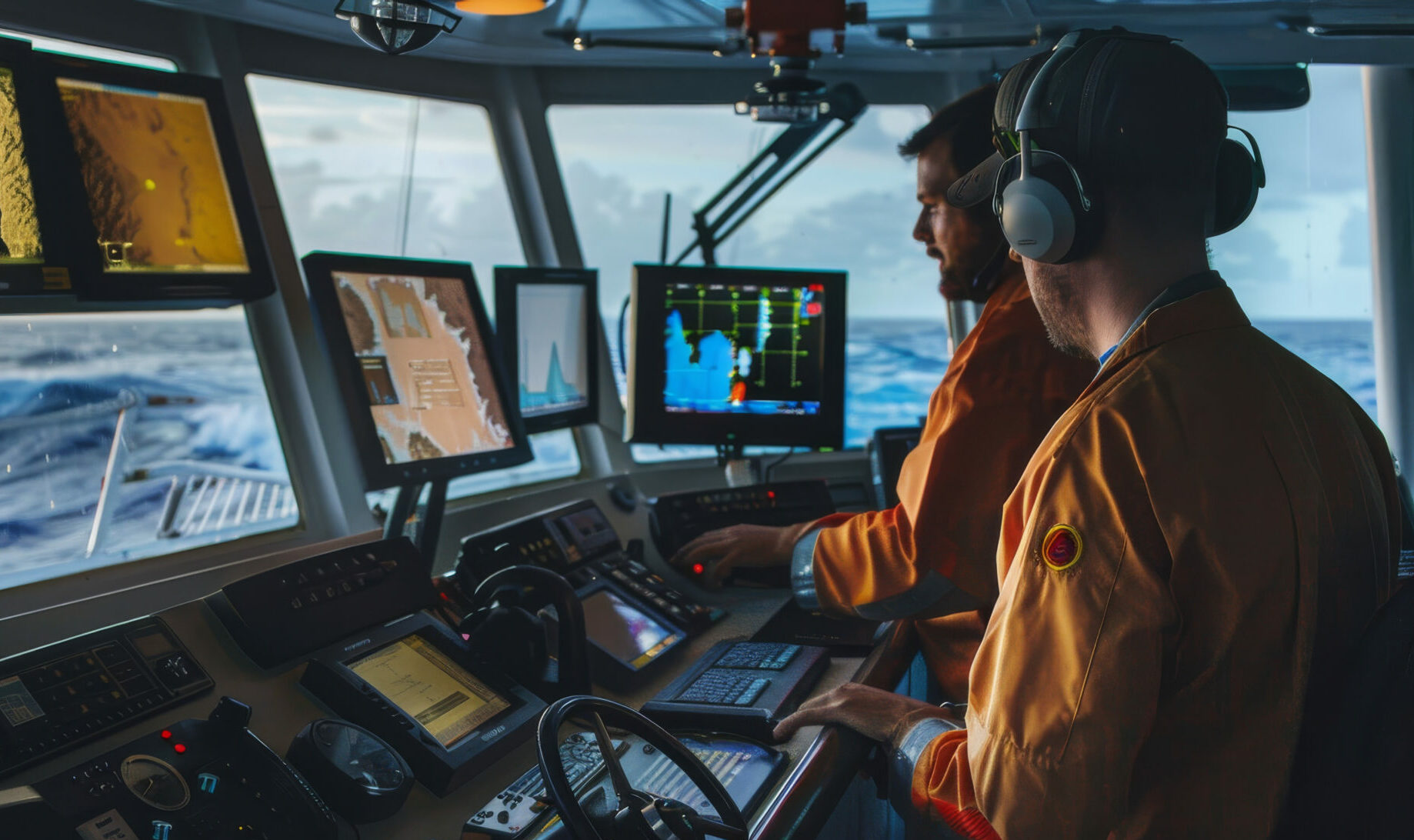
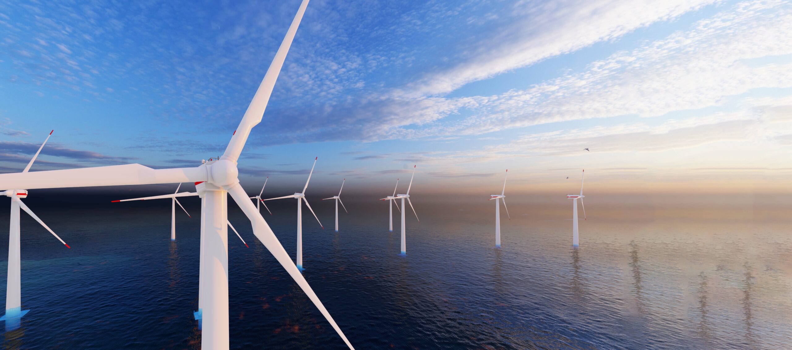
Maritime AIS Data

Space-Based Solutions for Maritime Communications And Navigation

AAC Clyde Space’s Maritime Constellation Provides Application Ready AIS Data

Offering real-time global visibility across open oceans and coastlines. We’re redefining how maritime data is captured, interpreted, and shared—enabling smarter supply chains, optimized routes, seamless compliance, and sharper environmental and commodity insights.  

The international shipping industry is responsible for the carriage of around 90% of world trade. Demand for global freight is set to increase and, with it, maritime trade volumes are poised to triple by 2050.  The need for more efficient and sustainable maritime transport planning is clear.  

AAC Clyde Space are dedicated to help shape a brighter future for seafarers, the shipping industry, and the global marine environment.

What We do?  

We operate and own a constellation of satellites, collecting global AIS data. AAC Clyde Space’s constellation of satellites provide global coverage, collecting a high volume of messages from  unique vessels each day. The satellite data is complemented by a global network of coastal AIS receivers that are continuously collecting messages from vessels close to the shore. 

We maintain the world’s longest continuous global, satellite-based AIS data library, providing access through secure, cloud-based data portals and offering advanced AIS data analytics capabilities to our clients.

AAC Clyde Space has been flying AIS payloads and collecting AIS data from space for more than 15 years. 

You can access a suite of ever-growing customer-focused Maritime Data services and data products, each tailored to meet specific industry needs. Like OSCAR, our Space Data Service for offshore windfarm management. 

Partner with us to unlock the full potential of space data for your business.

Speak to Our Space Data Experts Today

"*" indicates required fields

Name*
DD slash MM slash YYYY
Please provide as much detail about your mission as possible including information about your payload

Why Choose AAC

Our advanced AIS constellation offers a comprehensive view of the world’s oceans, providing maritime organizations with real-time AIS data to make informed and confident decisions.  

Our AIS data has enabled end users to monitor vessel movements, enhance maritime safety, and optimize fleet operations. With our cutting-edge satellite technology, we’re committed to supporting smarter and more sustainable maritime practices. 

No matter what your AIS data requirements, we ensure you receive accurate, real-time insights tailored to your needs. We provide satellite-based AIS solutions suitable for a wide range of maritime applications. 

The AIS Constellation offers:

World’s longest continuous global AIS data library 

We maintain the world’s longest continuous global, satellite-based AIS data library, providing access through secure, cloud-based data portals and offering advanced AIS data analytics capabilities to our clients. 


Real-Time Vessel Tracking 

Increase your situational awareness by accessing vessel positions worldwide or in areas of interest. Our satellites capture AIS signals globally, providing up-to-date information on vessel positions, movements, and traffic patterns, essential for efficient maritime operations and safety management. 

Comprehensive Data Delivery 

Equipped with state-of-the-art technology, our constellation deliver AIS data quickly, making it ideal for applications such as fleet management, maritime security, and route optimization. 

Global Coverage 

Our constellation ensures extensive monitoring of oceans, coastal areas, and shipping lanes worldwide, providing uninterrupted AIS data to keep you informed. 

Podcasts

Advanced Data Integration 

Our AIS data can be seamlessly integrated with other data sources, such as satellite imagery, weather information, and oceanographic data, to provide a comprehensive view of maritime activities. This integration allows for more sophisticated analytics, enabling applications like predictive maintenance, environmental monitoring, and enhanced port management. 

AIS = Efficient & Reliable Data Exchange at Sea

Improved Situational Awareness

AIS provides real-time information on vessel positions, course, speed, and identity, allowing ships, port authorities, and maritime agencies to monitor and track vessel movements accurately. This increased visibility ensures that all stakeholders have up-to-date knowledge of maritime traffic, reducing the risk of collisions and accidents. 

Enhanced Navigation Safety 

By continuously transmitting vessel information, AIS allows ships to be aware of each other’s movements, even in adverse weather conditions, low visibility, or congested traffic areas. This improves decision-making on board, helping captains and crews navigate safely and avoid potential hazards. 

Efficient Traffic Management

AIS data enables maritime authorities and port operators to manage vessel traffic more effectively. It supports better planning and scheduling of port arrivals, reduces waiting times, and optimizes the allocation of berths, pilots, and tug services, leading to smoother and more efficient port operations. 

Real-Time Communication & Data Exchange

AIS facilitates efficient data exchange between vessels, shore-based stations, and satellite systems. This real-time communication capability ensures that critical information such as vessel position, navigational status, and safety messages is transmitted instantly, allowing for quick responses to changing conditions and potential emergencies. 
Globe

Global Coverage & Continuous Monitoring 

With satellite-based AIS, vessels can be tracked across the globe, even in remote areas where terrestrial AIS coverage is limited. This ensures continuous monitoring and data exchange, providing maritime stakeholders with a complete and reliable picture of vessel activities worldwide. 

Introducing VDES (AIS 2.0) - a significant advancement in maritime communication technology

VDES is a significant advancement in navigation communication technology compared to today’s AIS system. It is designed to provide vessels with a more efficient and reliable means of data exchange and communication while at sea.