Introducing VDES (AIS 2.0)

More Efficient & Reliable Data Exchange at Sea

Introducing VDES (AIS 2.0) - a Significant Advancement in Maritime Communication & Navigation

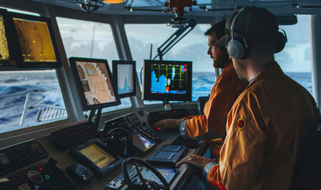
VDES (VHF Data Exchange System) known as AIS 2.0, represents a significant advancement in maritime communication technology compared to today’s AIS system. It is designed to provide vessels with a more efficient and reliable means of data exchange and communication while at sea. VDES operates on the VHF (Very High Frequency) band, offering several key benefits for maritime operations.

VDES represents a technological leap forward in maritime communication, offering vessels the capability to exchange data in real-time on a global scale. Its bidirectional communication, reliability, and support for various applications make it a valuable tool for enhancing safety, efficiency, and connectivity in maritime operations.


Maritime Communications

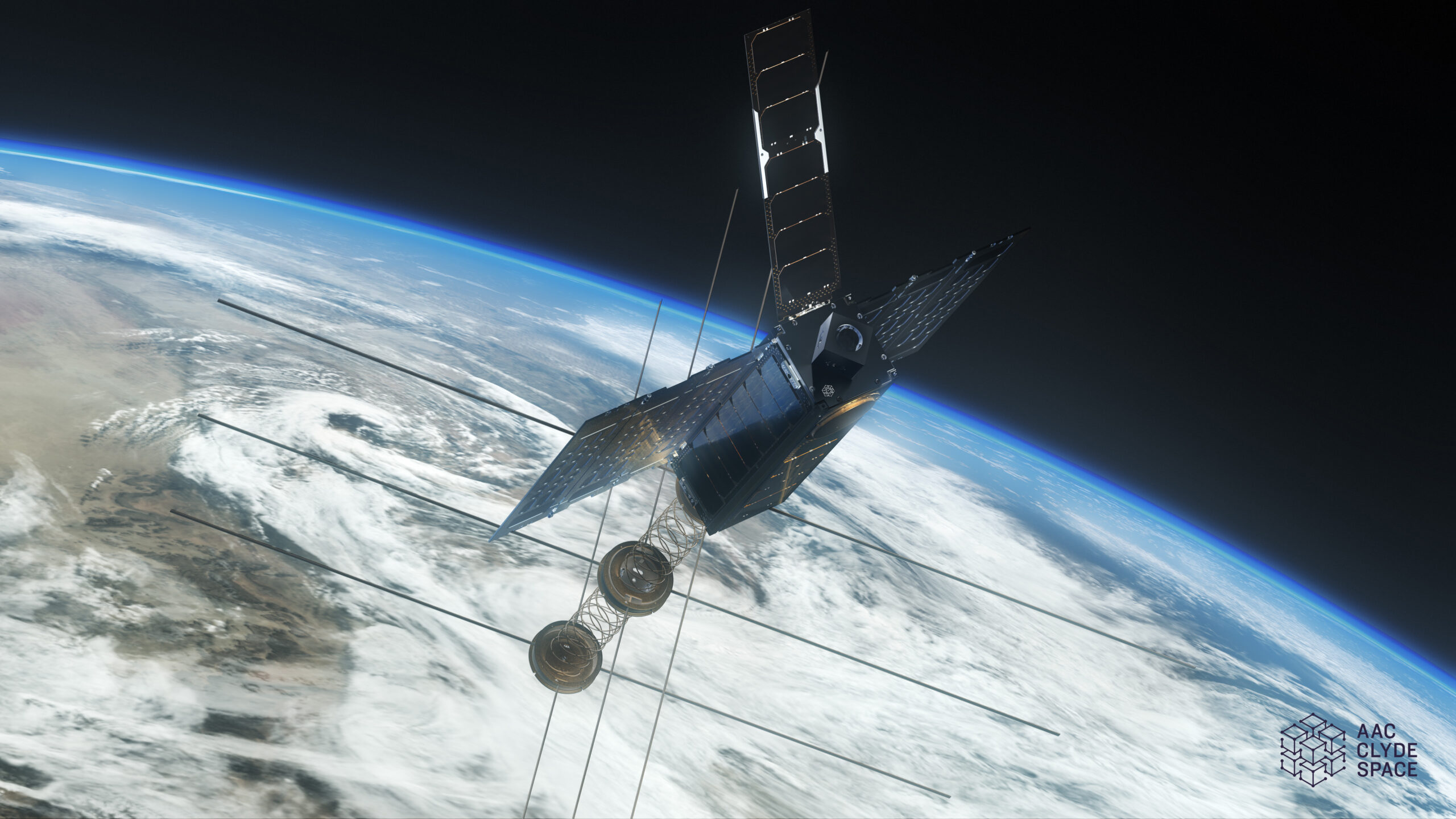
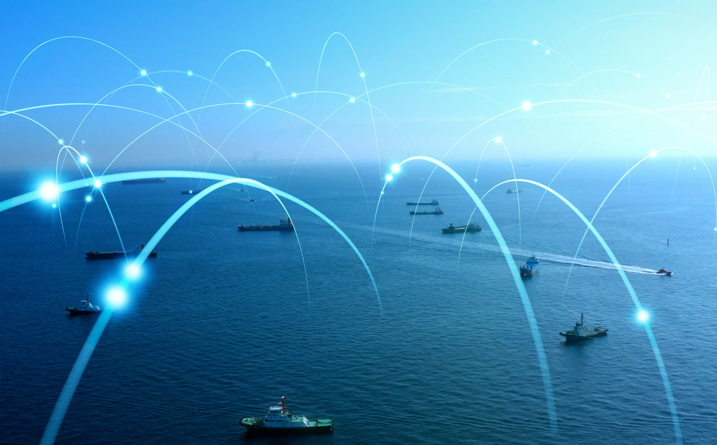
VDES addresses the overload of the AIS VHF Data Link (VDL) and allows for smarter navigation and communication solutions for the shipping industry. It adds a new dimension with providing terrestrial VDES and satellite VDES, creating a global high-speed ship-to-satellite and satellite-to-ship communication link available for various applications.

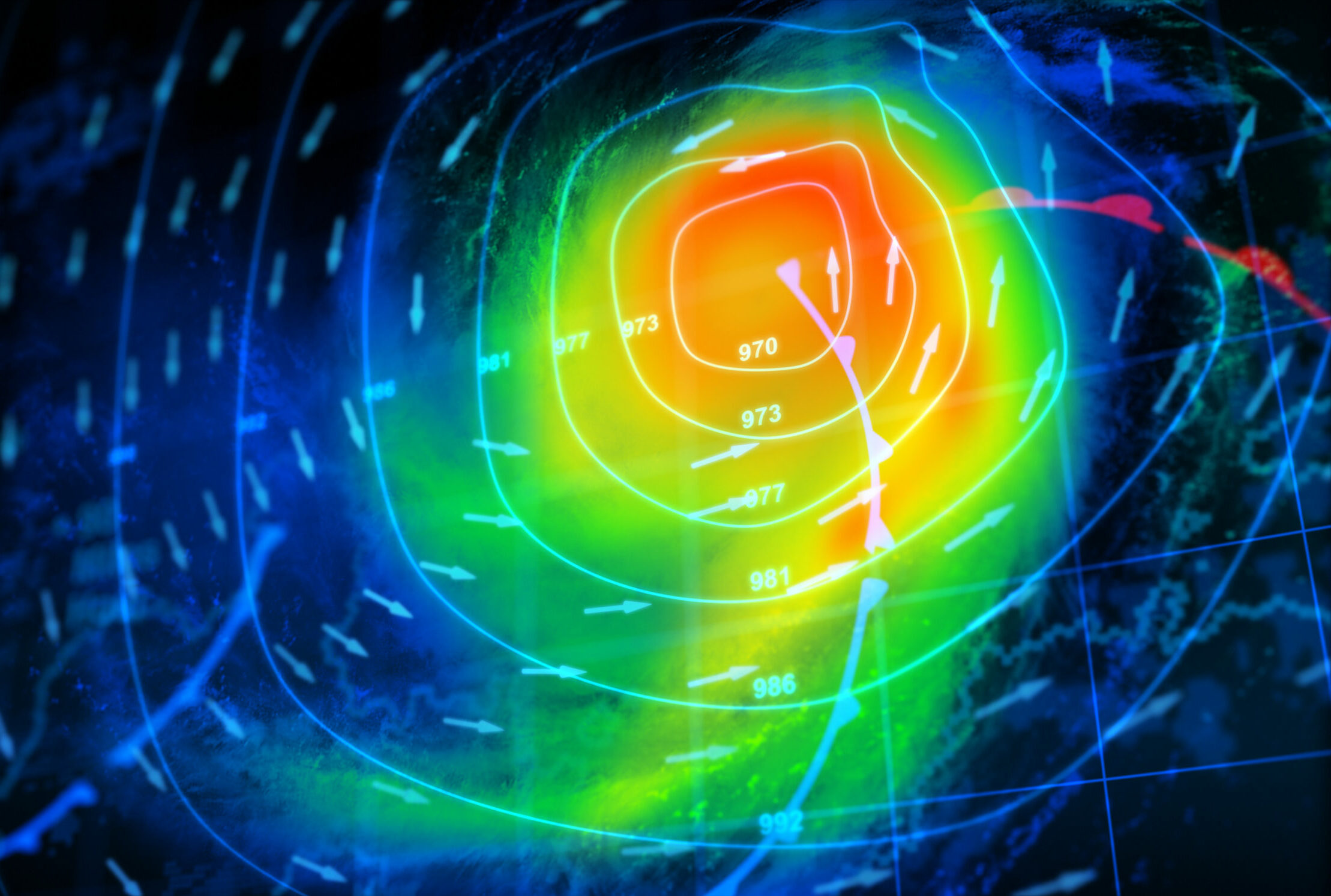
By adding space-based capability to VDES, the communication system’s range increases from the shoreline to anywhere in the ocean, converting what is currently a predominantly coastal system into a global maritime system. With up to 32 times more bandwidth than the currently widely used Automatic Identification System (AIS) communication, VDES can be integrated with e-navigation systems, enabling savings in fuel and emissions of up to 25 percent, aiding navigation, and increasing safety. The bandwidth also creates opportunities for a wide range of other services, from delivery of weather data to messaging.

What is VDES Data Used For?

Renewables Asset Management

Make remote asset tracking and protection easier with our data, and significantly mitigate risk in remote regions. From Offshore windfarm management to land we’ve got you covered!

Logistics and Supply Chain

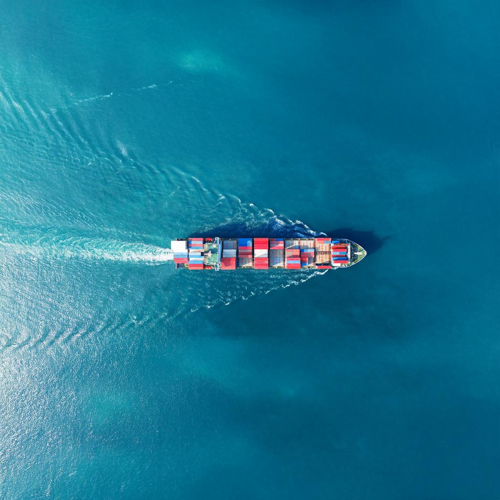
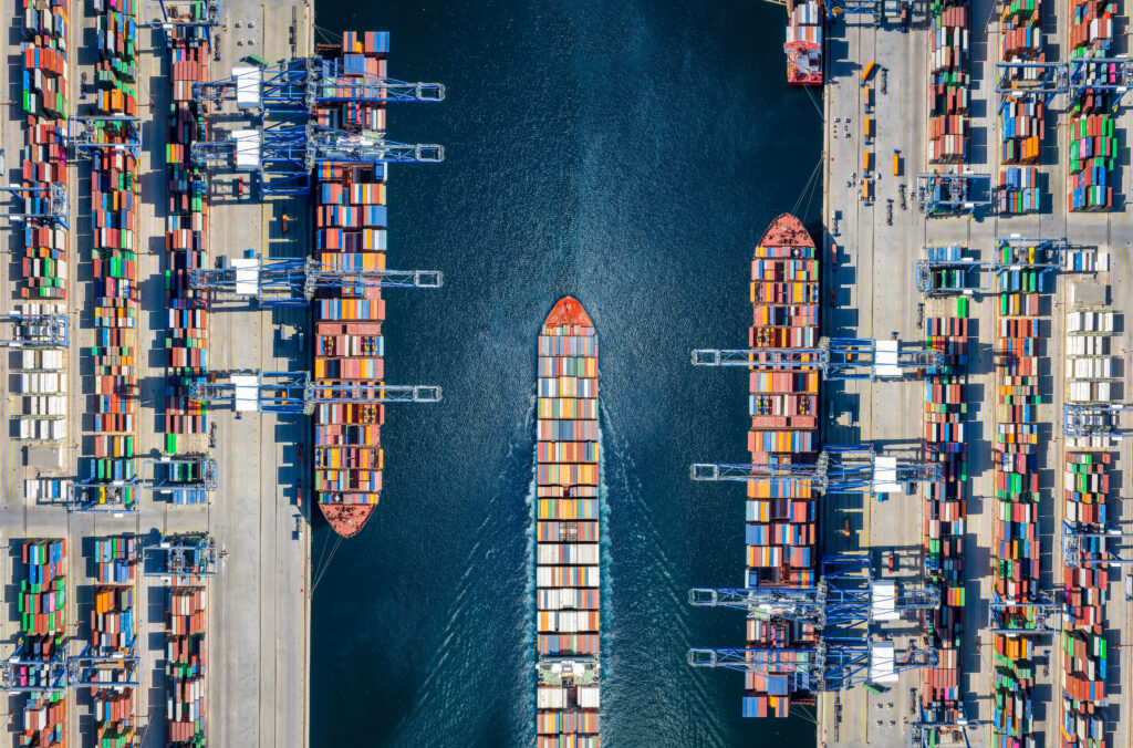
Access data that minimizes the impact of supply chain disruptions, as well as reliable ETAs to optimize port resources.

Defense and Security

Reliable, real-time maritime data for enhanced situational awareness and smarter decision-making when every second counts.

Port Operations

Port operators depend on accurate data for optimizing short and long term operations. Get access to accurate data to optimize short- and long-term port operations and allocate resources effectively.

Search and Rescue Operations

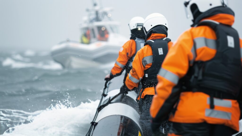
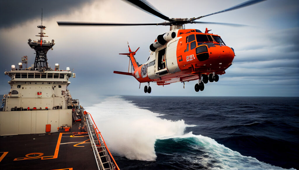
In case of emergencies, VDES plays a crucial role in search and rescue (SAR) operations. Rescue teams can access AIS data to locate distressed vessels quickly, even in remote areas, significantly reducing response times and increasing the chances of saving lives and property.

Optimized Fleet Management

VDES provides fleet operators with accurate and real-time information on the location, speed, and route of their vessels. This enables better route planning, fuel optimization, and reduced operational costs.

Enhanced Regulatory Compliance

By providing a transparent record of vessel movements, VDES can ensure adherence to maritime laws and reduces the risk of illegal activities, such as unauthorized fishing or entering restricted zones.

Environmental Protection

Monitor maritime traffic in ecologically sensitive areas, such as marine protected zones and coral reefs. By tracking vessel movements, authorities can enforce regulations that prevent ships from entering restricted areas, supporting sustainable maritime practices.

Speak to Our Space Data Experts Today

"*" indicates required fields

Name*
DD slash MM slash YYYY
Please provide as much detail about your mission as possible including information about your payload