VDES for Weather Routing
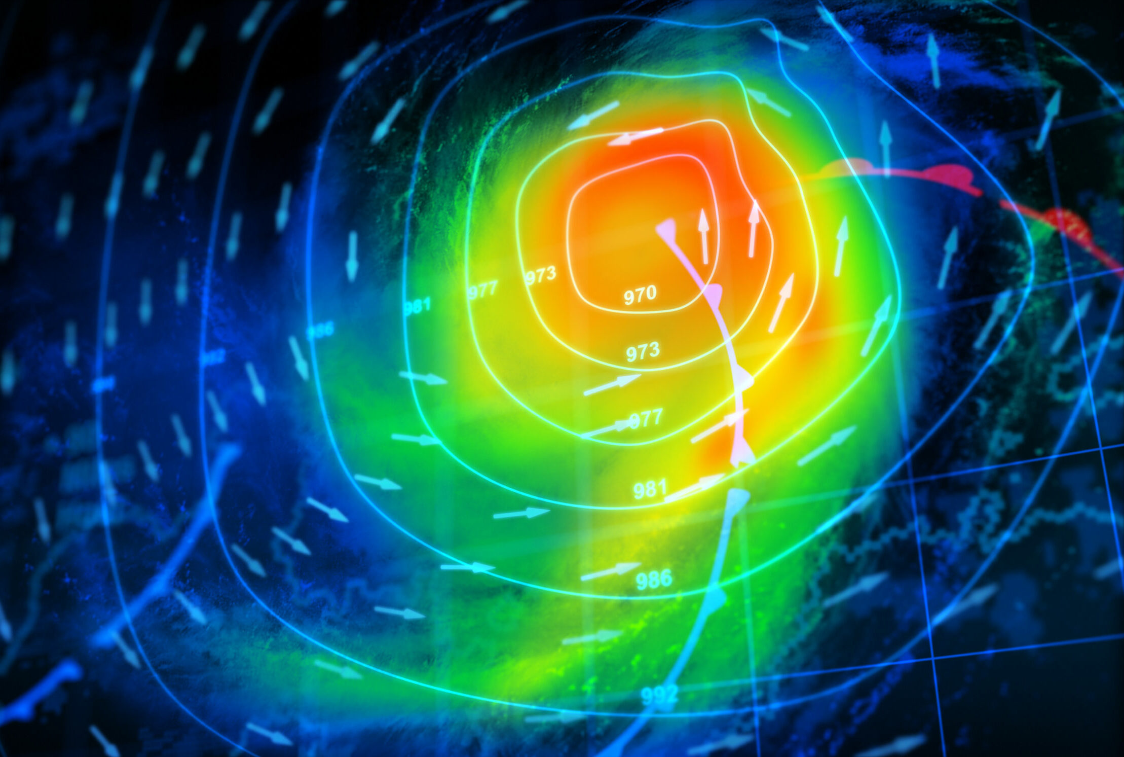
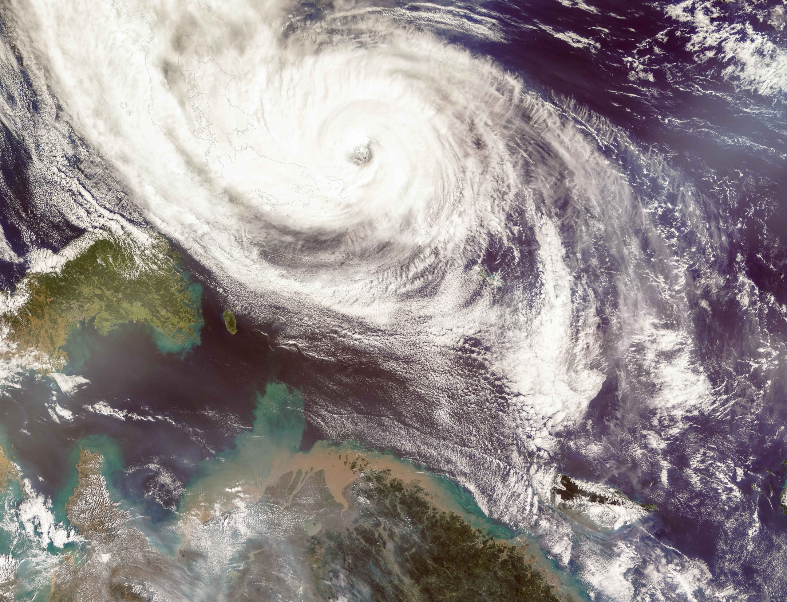
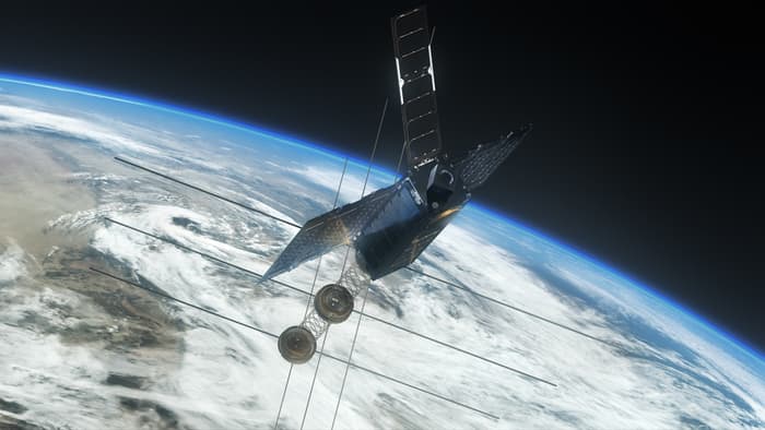
Weather routing represents an essential element in the complex puzzle of shipping. VDES, by combining sophisticated satellite data, facilitates accurate and real-time weather updates, forecasts, and critical alerts for vessels. This dynamic provides cargo ships with the power to adeptly optimize their routes, circumventing challenging weather conditions, which might otherwise result in delays, potential damage to cargo, and unwanted surges in fuel consumption.
Satellite Data Integration
The role of satellite data cannot be overstressed in maritime navigation. VDES transceivers, being capable of accessing high-resolution satellite data, furnish ships with critical weather information such as wind patterns, wave heights, and looming storm forecasts. This live, on the-go data stream ensures that the vessel navigators are always a step ahead in charting the safest and most efficient course.
Dynamic Route Optimization
Empowered by the inflow of real-time weather data, cargo ships are equipped to dynamically adjust their routes, which avoids confrontations with adverse weather conditions, thereby guaranteeing timely deliveries and operational fuel efficiency. This not only protects the ships and cargo from potential damage but also maintains the overall safety and mental well-being of the crew onboard.
