Earth Observation Space Data Made Accessible and Affordable

VIREON™: A New EO Constellation Built for Land & Environment Intelligence
Provides users with unique access to:
- High Resolution Images – the satellites utilise high-resolution multispectral imaging sensors with a ground sample distance of 1.5m, for images with field end forest canopy level detail.
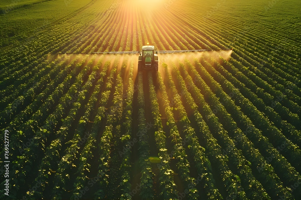
- Fast Downlink to Meet Your Data Needs – packed with state-of-the-art technology our EO satellites capture high-resolution images and transmit near real-time data, making it perfect for anything from crop performance and water resource management to forest health mapping.
- Global Coverage – Broad area monitoring of agricultural and forest regions worldwide
- High Frequency – Daily in-season revisit rates powered by multiple satellites in space
VIREON™
A New Earth Observation Constellation
-
 DAILY REVISIT
GLOBAL COVERAGE
-
 MULTISPECTRAL IMAGE RY
IN 7 BANDS
-
ALIGNED TO SENTINEL-2
-
1.5 METRE RESOLUTION
-
15KM SWATH

Launched in 2026, the VIREON™ constellation is designed to make high-quality, Earth Observation data more accessible, affordable, and actionable—especially in resource-conscious sectors like agriculture and forestry.
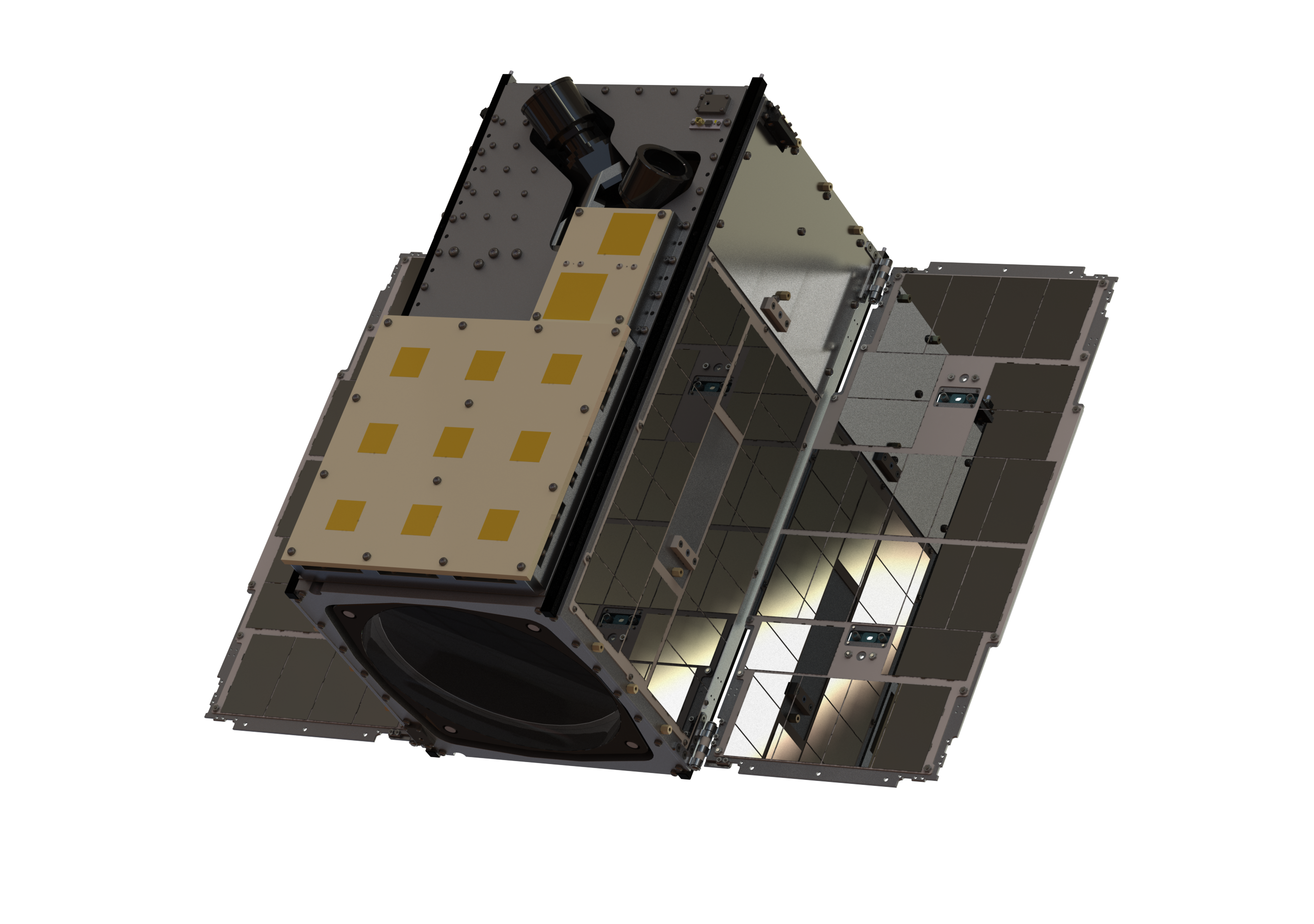
VIREON™ is built on our next-generation EPIC VIEW. Designed with decades of small satellite heritage each 16U-class satellite is optimised for land management, environmental monitoring, and natural capital insight.
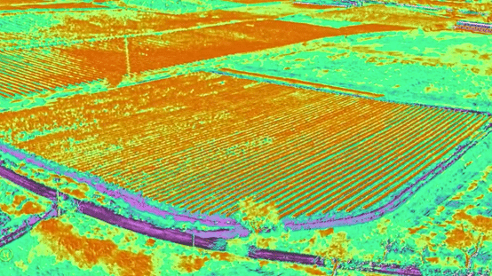
With Keystone, our powerful image processing platform, we deliver analytics-ready products for immediate integration into your decision workflows and AI models.
You can access a suite of ever-growing customer-focused Earth Observation services and data products, each tailored to meet specific industry needs. Like Canopy, our Space Data App for Forest health.
Application-Ready Data with Keystone
VIREON™ data doesn’t just stop at the image
Keystone Delivers:
- Orthoimages and mosaics – High-quality, radiometrically and geometrically corrected
- Flexible deployment – On-premises, virtualised, or cloud-based
- Fast, automated workflows – Tasking, processing, and delivery
- Multi-sensor support – 50+ satellite and airborne sensors
- Built-in data catalogue and APIs – For streamlined integration
By combining VIREON™’s high-quality inputs with Keystone’s advanced processing, we offer a full end-to-end EO solution—from space to insight.

Designed for Data-Driven Farm & Forest Management
Our high-resolution imagery supports efficient farming and forestry practices. By delivering frequent, detailed satellite imagery, we help monitor crop health and make our planet a little greener. From planting to harvest, our data provides comprehensive insights across all regions and seasons, empowering growers and foresters to optimize productivity, profitability, and sustainability.
AAC Clyde Space’s VIREON™ Constellation Provides Application Ready EO Data.
VIREON™ space data is making more advanced, detailed environmental monitoring accessible to a wider range of users, especially where budgets are under pressure. They will deliver VNIR imagery with a 1.5 metre GSD from an orbit altitude of 500km. The satellites include features such as propulsion for orbit control and inter-satellite links to expedite image tasking in near-real time as the constellation expands.
Whether you’re in precision agriculture or forest management, our tailored solutions offer the insights you need to thrive.
Real-World Applications
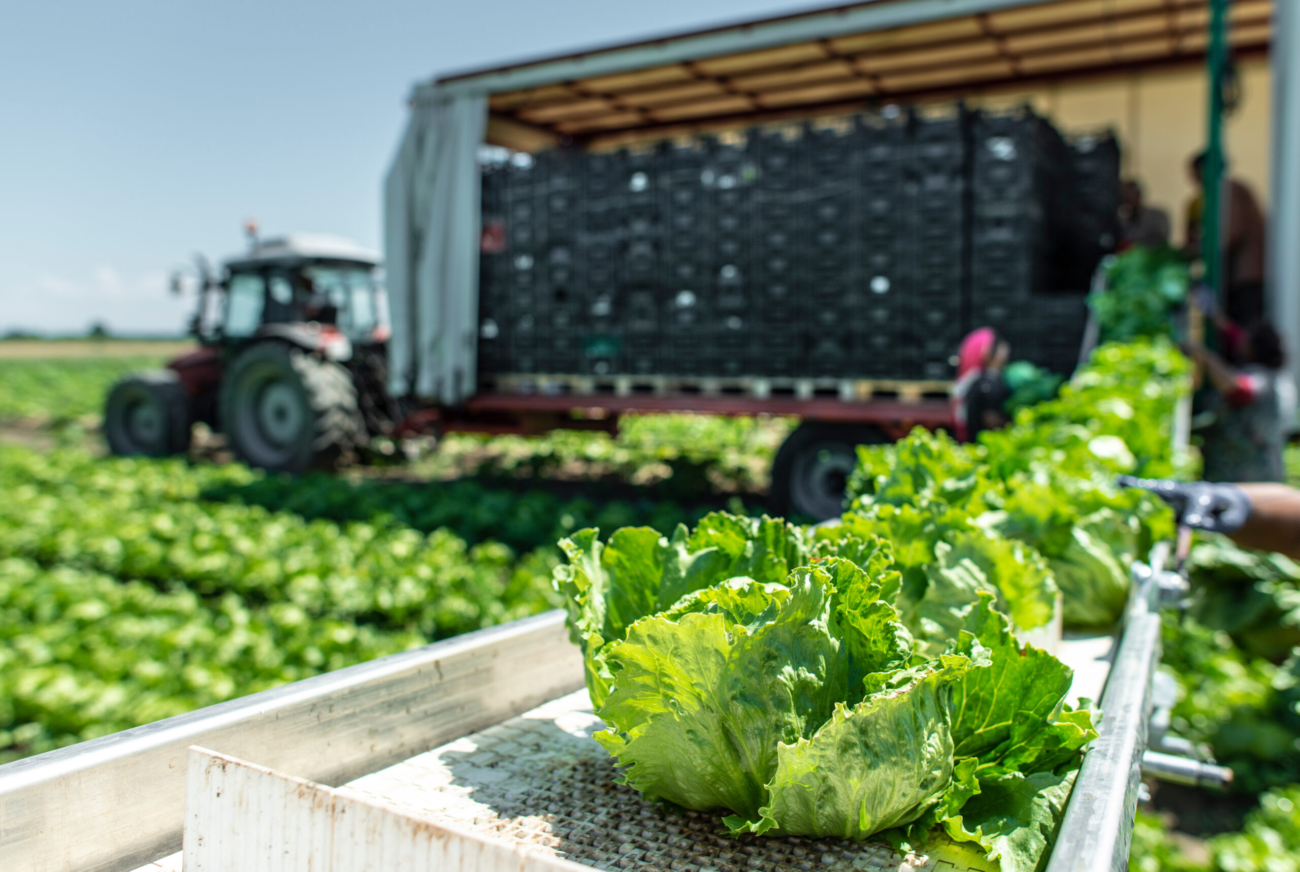
For Agriculture
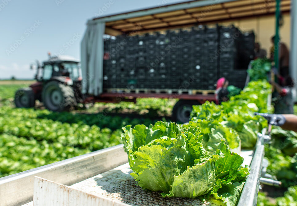
Whether it’s irrigation decisions or large-scale food security assessments, VIREON™ delivers the frequent, detailed insights growers need—at field, regional, or global scale.
Our multispectral imagery supports:
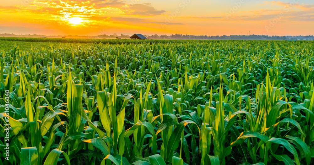
Crop health and drought stress monitoring
Parametric insurance for climate risk
Satellites to Seeds: How Space Tech is Revolutionizing Farming & Finance
Beyond the farm, satellite intelligence is changing how agriculture gets funded. Banks, insurance companies, and investors can now see real-time crop conditions instead of relying on outdated reports or limited field samples.
Find out moreReal-World Applications
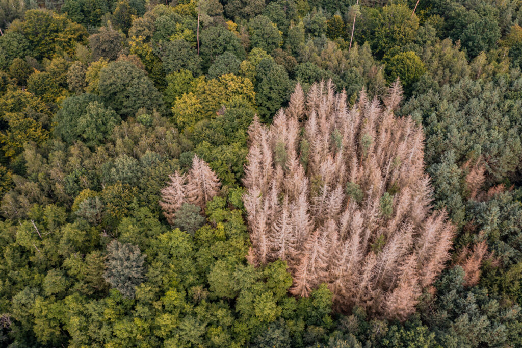
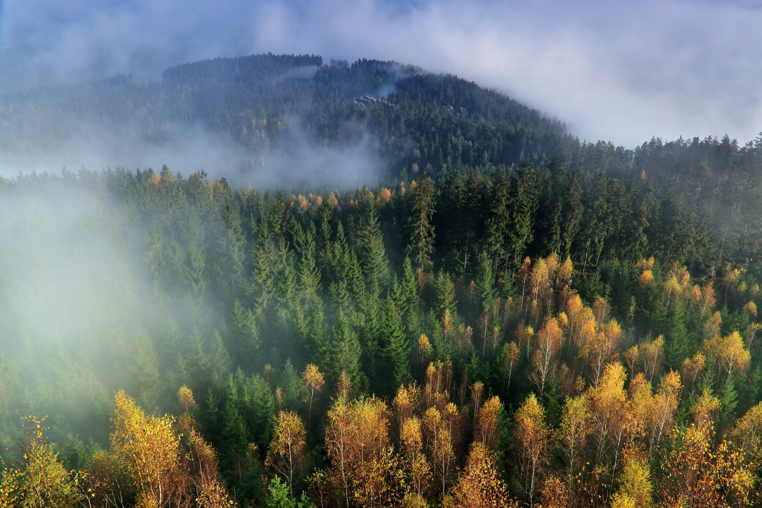
For Forestry
Sustainable forestry depends on timely, trusted data. Our EO services—including Canopy, our Space Data App for Forest Health—provide clear, repeatable data for policy, certification, and conservation.
We support:

Deforestation monitoring and change detection
Burned area estimation and storm damage assessment
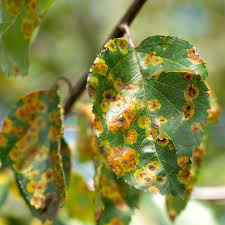
Tree species classification and disease early warning

Forests on the Brink: Using Space-Based Intelligence to Prevent Ecosystem Collapse
The big challenge for forestry organizations isn't accessing satellite data — it's transforming that data into actionable insights tailored to real-world decisions. Canopy is an integrated space data service designed specifically to enable sustainable forest management.
Find out more
Canopy
Designed to enable sustainable forest management, Canopy provides users with data and analysis, using our targeted images at critical seasonal stages.
Find out moreVIREON™ Applications
We identify the right data sets clients need to solve high-stakes challenges, monitor conditions, and meet the requirements of demanding projects.
Our Earth observation data services are tailored for real-world applications, helping stakeholders manage risks, optimize operations, and respond effectively to evolving challenges.
In a world defined by constant change—whether it’s climate shifts, aging infrastructure, or technological disruptions—access to timely, actionable data is essential. At AAC Clyde Space, we use advanced multispectral satellites to capture and track small-scale changes across the globe, from built infrastructure to fields and woodlands. Our high-resolution imagery provides insights to enhance your analytical models, forecasts, and decision-making processes, helping you manage risk and stay ahead in an ever-evolving landscape.
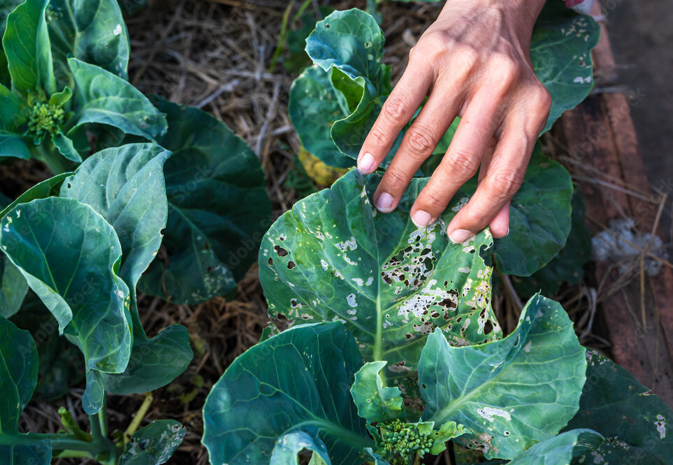
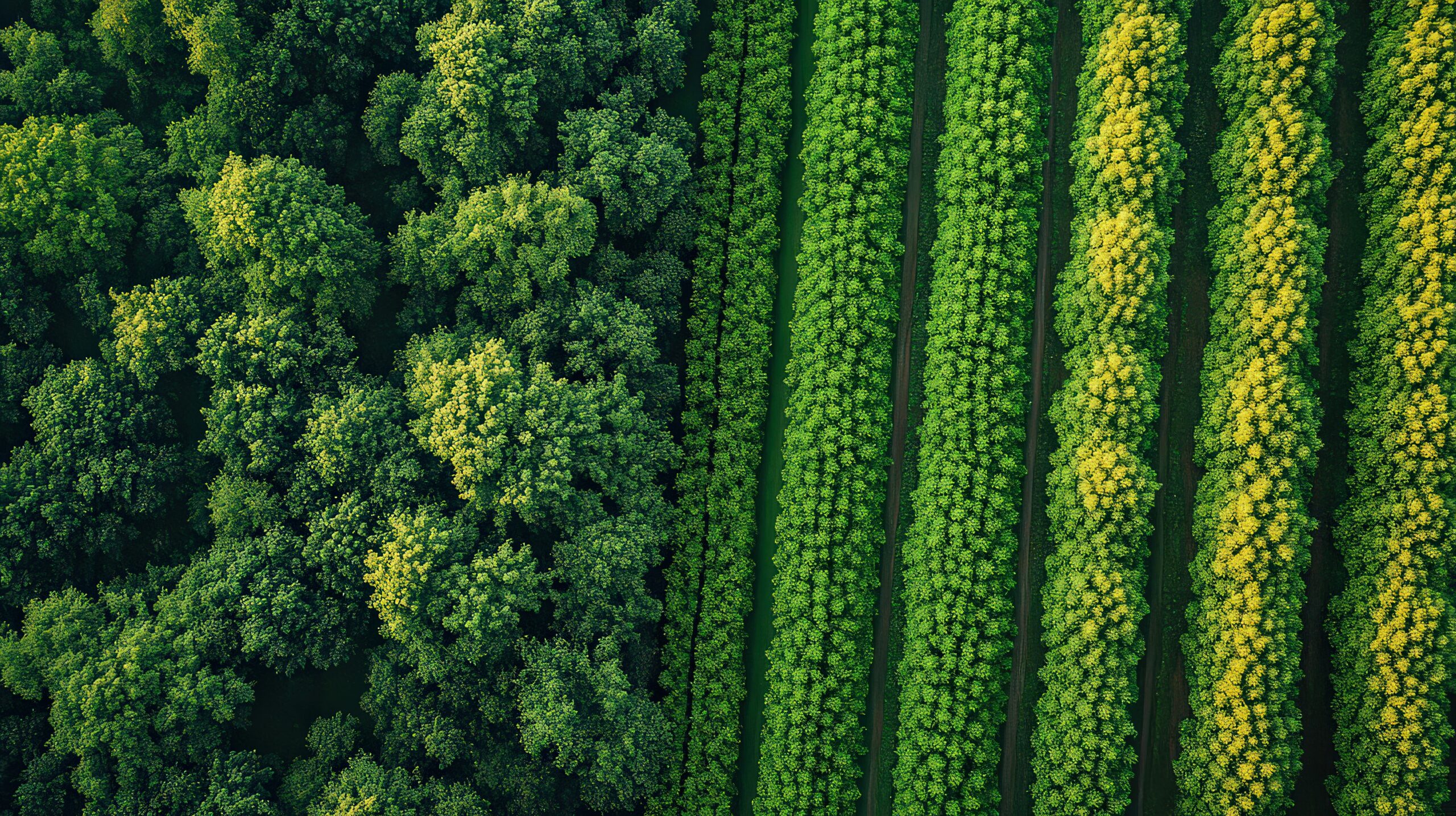
Vegetation Health
Analysis and monitoring of crop and forest health.
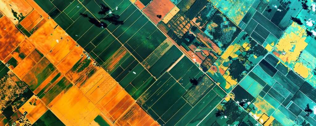
Land Cover Classification
Identifying different land uses, such as forests, urban areas, and agricultural fields.
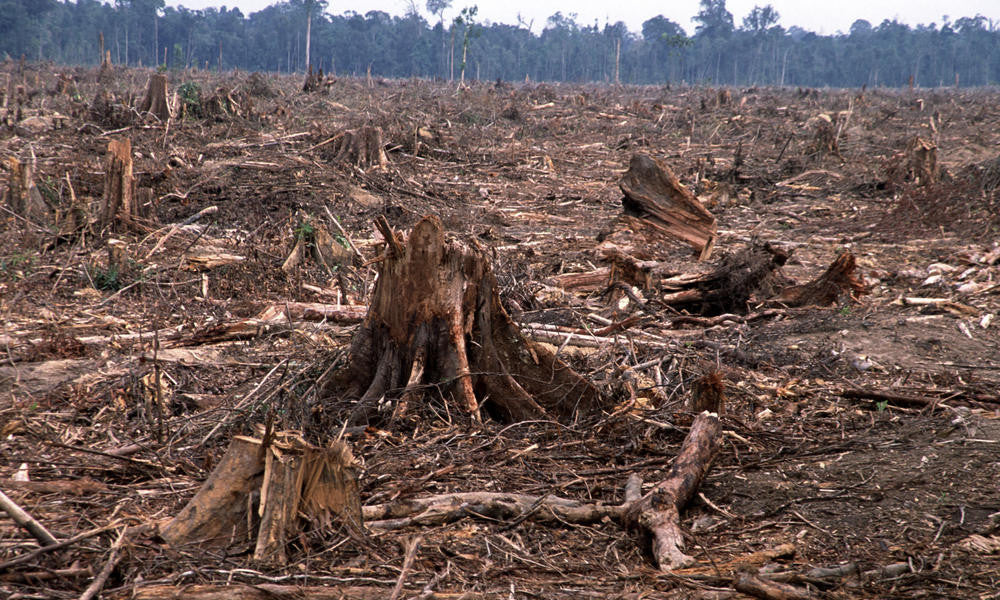
Deforestation and Land Degradation
Tracking forest cover changes over time.
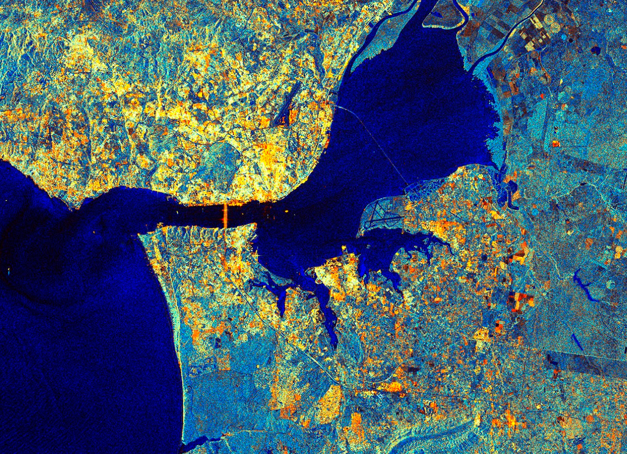
River and Marine Monitoring
Mapping pollutant sources and water quality.
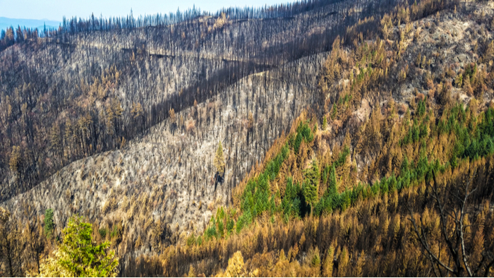
Wildfire Assessment
Identifying burn scars after fire events.
Earth Observation Customers
Forests and Innovation
AAC Clyde Space satellites will help rapidly and accurately gather and analyse stress, pests and disease data in trees and wild plants in Scotland to aid early detection at national levels. Repeatable analysis will enable Scottish Forestry to monitor change over time.
Find out more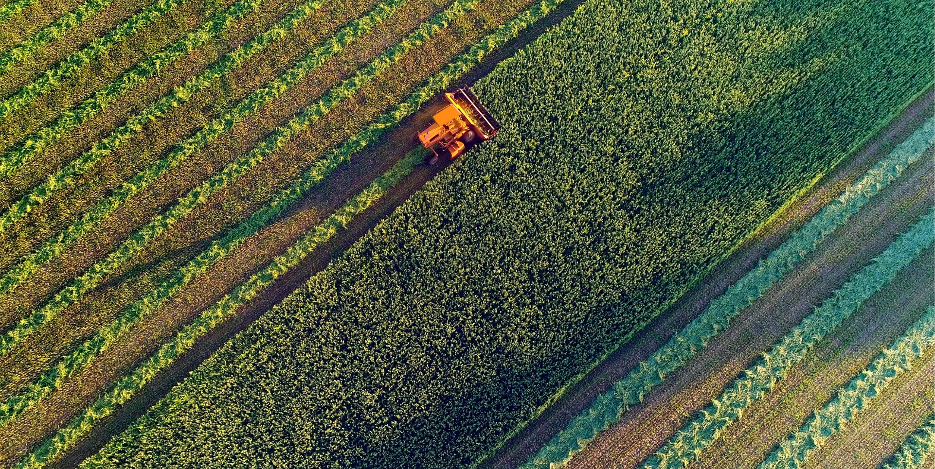
WYVERN
Our partners at Wyvern Inc, a Canadian Earth observation company, have committed to subscribing to our data service for four years. This custom package is set to deliver high-resolution hyperspectral data from space over an initial four-year period.
Find out more
Seahawk
Satellites are one of the most vital tools to better understand our planet. They enable us to capture a global view of what is happening across the planet.
Find out more