
AAC Clyde Space Develops Satellite-Based Tool to Support Sustainable Land Management Across the UK
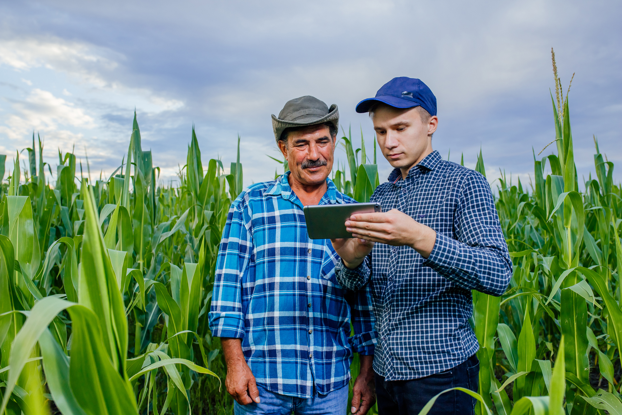
AAC Clyde Space is pioneering a new approach to environmental monitoring and land use planning with the development of Project THICKET, a satellite-powered tool designed to support sustainable land management across the UK.
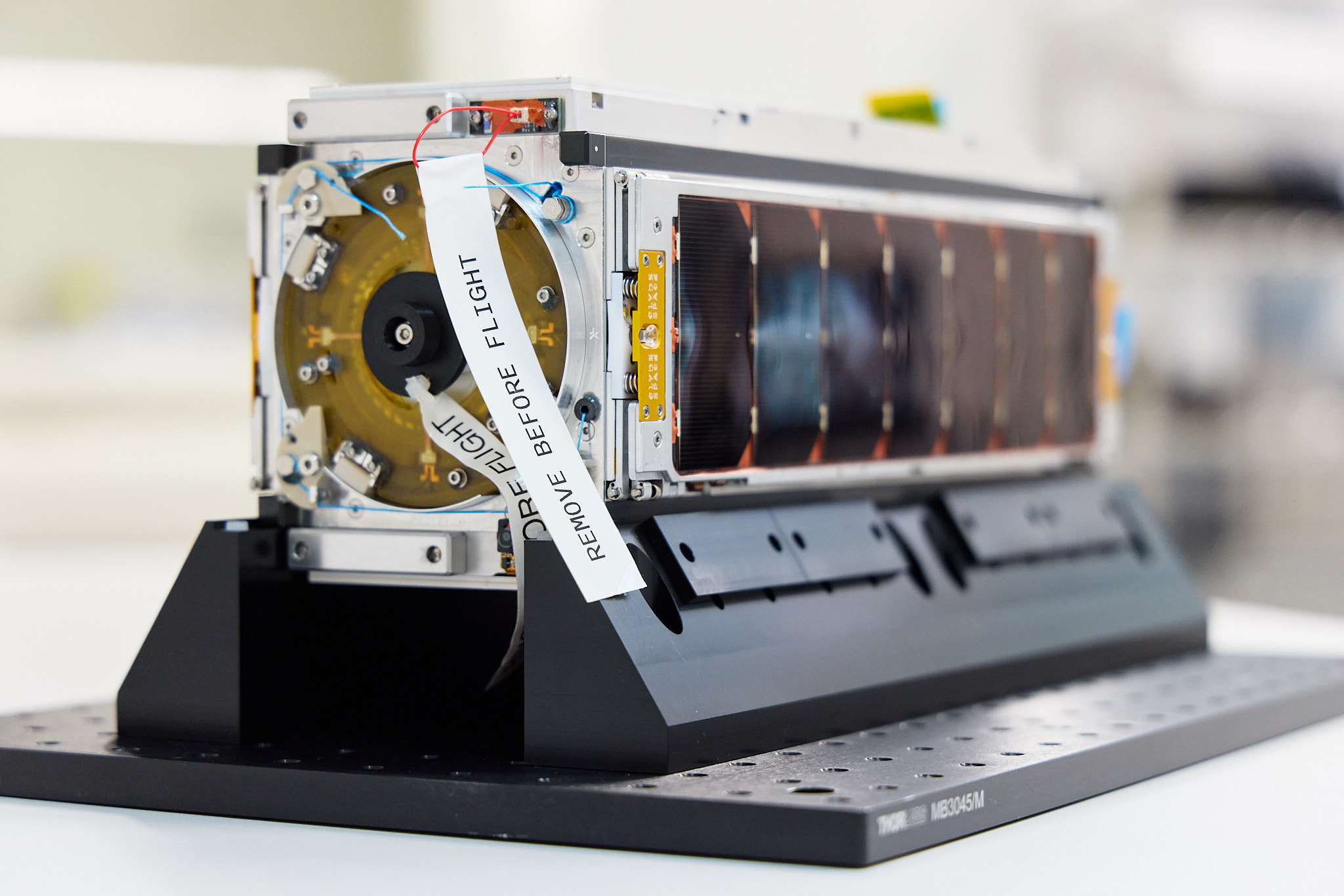
Developed in Glasgow, THICKET provides frequent, high-resolution imagery from AAC Clyde Space’s own satellite constellation, showing exactly what habitats are available on each field or parcel of land. This environmental insight equips farmers, land managers, agricultural organisations, and policymakers with the data they need to make more informed decisions that support biodiversity, sustainability, and effective land stewardship.
By translating complex Earth observation data into accessible, actionable intelligence, THICKET helps users align their practices with the UK’s environmental goals and meet the requirements of public funding initiatives such as the Sustainable Farming Incentive. For policymakers, the tool also offers a scalable, evidence-based approach to monitoring and supporting nature recovery across regions.
The project was recently highlighted by the UK Space Agency as a leading example of how satellite technology can be applied to public service innovation and environmental policy.
“This is about turning space data into real impact,” said Luis Gomes, CEO of AAC Clyde Space. “THICKET helps those managing land — from individual farmers to national agencies — make smarter, more sustainable decisions backed by reliable satellite insight.”
As the UK continues to invest in greener land management and climate resilience, THICKET stands as a compelling example of how space innovation can power meaningful change on the ground.


Sign up to our newsletters for the latest news, projects and more delivered straight to your inbox
"*" indicates required fields